West Sai Kung Hike
Map
Description
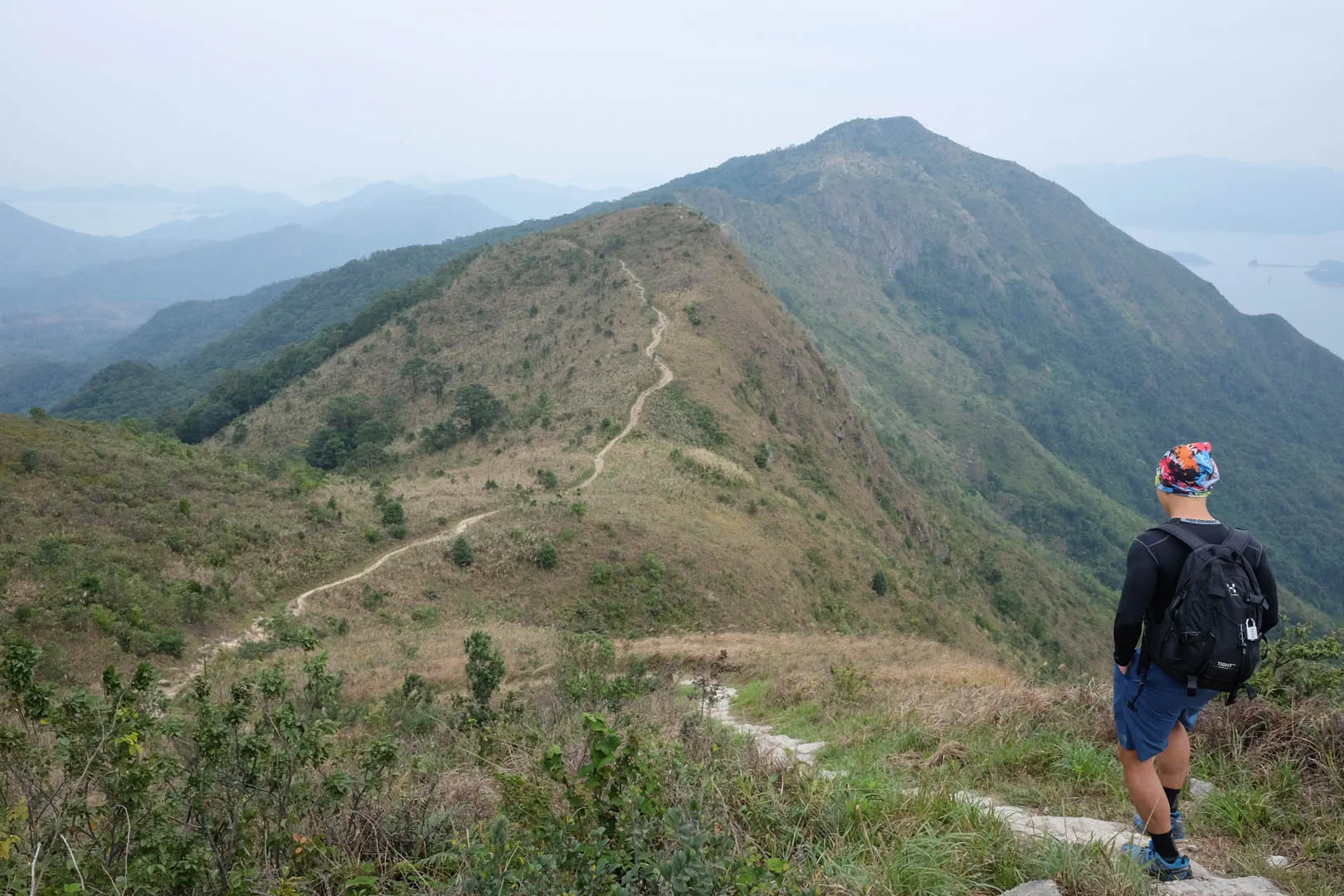
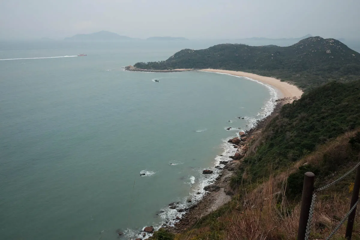
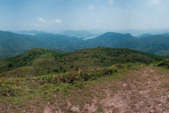
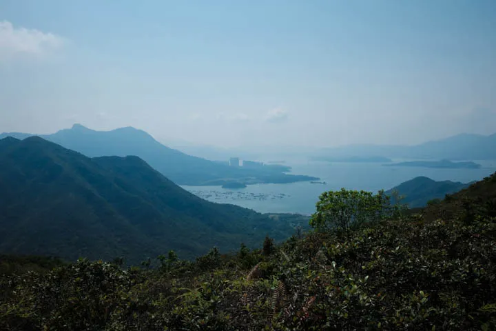
Maclehose Trail Section 3 is a difficult hiking trail in West Sai Kung that climbs over three mountains between Pak Tam Au and Kei Ling Ha. The trail heads straight into nature, surrounded by greenery and mountains from all directions. To the west, the direction of the trail, are views of Ma On Shan and Tai Po past Tolo Harbour. Looking back throughout the trail are views of East Sai Kung, and South China Sea beyond the mountains.
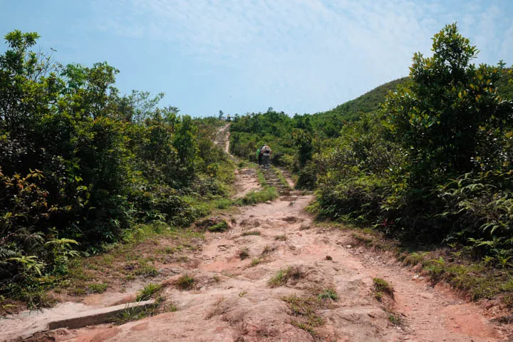
The elevation gains—especially the last climb to Kai Kung Shan, and mixture of flat steps and rocky surface make this hike difficult to climb. The trail experience is perfect for those who want a challenge.
Make sure you carry plenty of water, especially in the summer and on sunny days, as the majority of the trail is without shade.
Hike elevation
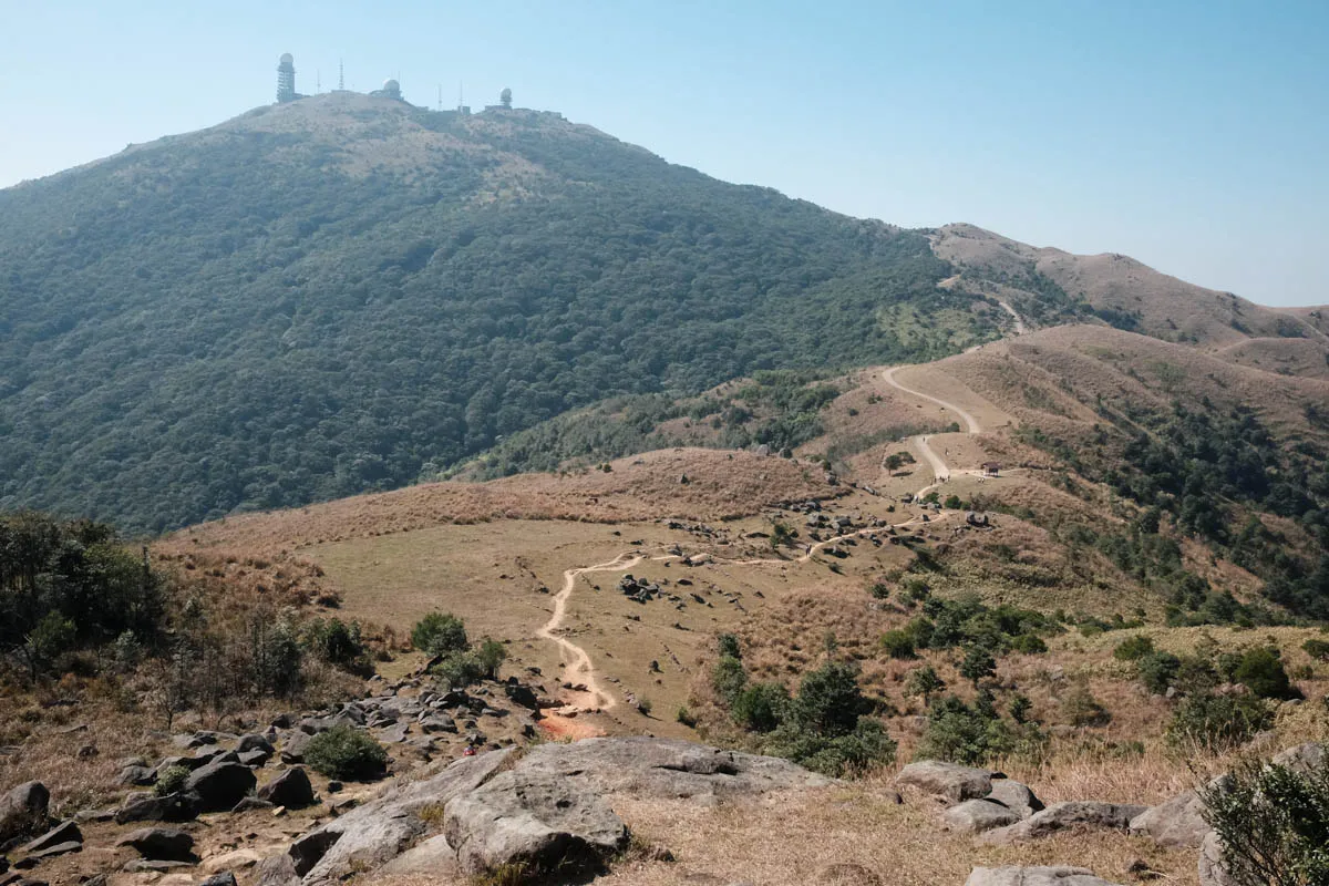
The trail begins at 180m above sea level and ascends to Ngau Yi Shek Shan (Cow Ear Rock Mountain) / Ngam Tau Shan (Rock Head Mountain) at 400m through a series of moderate rock steps. Beautiful views of mountains all around Sai Kung stretch to the horizon line.
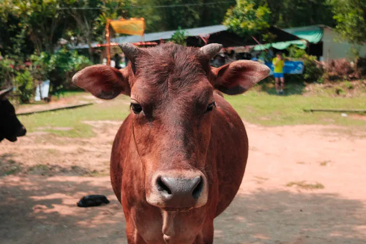
Past Ngam Tau Shan, descend gradually to a campground at Cheung Sheung at 300m elevation. There’s a store there open on weekends. Plenty of cows roam around the grassy area.
The trail drops to 200m, before climbing the second mountain to 260m (highest point of the trail but not the peak.) Along the plateau, facing west, are views of Three Fathoms Cove and the highrises of Ma On Shan peeking behind the foot of the mountains.
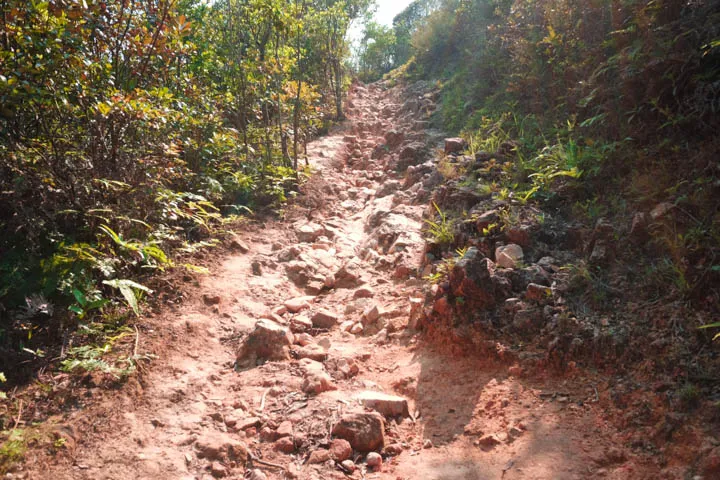
Continuing westbound, the trail drops to 160m and ascends to Kai Kung Shan (Rooster Mountain, or Cock Mountain) at 399m. The elevation gain and gradient makes it the most difficult climb of the trail. The descent down to the ending point at Kei Ling Ha (80m) is gradual compared to the ascent.
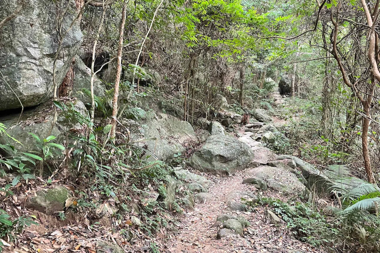
Trail surface
The trail surface of Section 3 is perfect for those who love nature. Dirt path, rock steps, and irregular rocks make up the entirity of the hike. Flat rock steps assist the majority of ascents. There are sections with irregular rocks though, be careful of those on descents.
Transport
Going to the starting point
Take bus 94 from Sai Kung Center bus terminus towards Wong Shek Pier. Get off at Pak Tam Au bus stop.
Leaving the finishing point
From Shui Long Wo bus stop, take bus 299 or 99 to Sai Kung, 299 to Sha Tin, or 99 to Wu Kai Sha.