Tai Po Kau Forest Hike
Map
Description
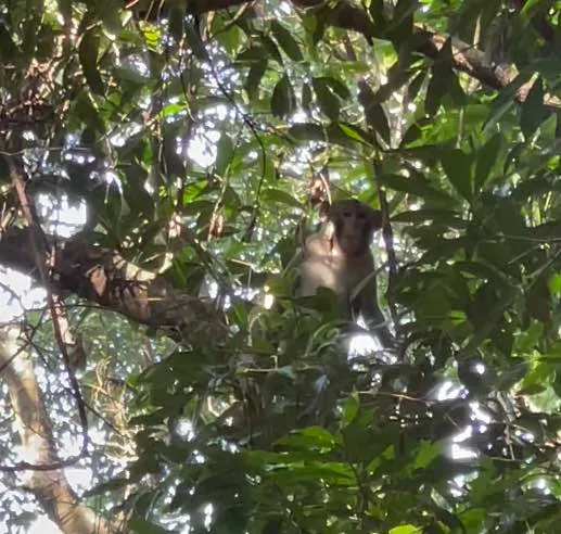
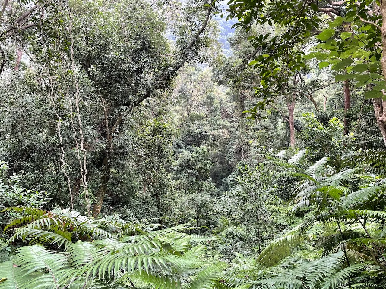
Tai Po Kau forest offers a range of beautiful circular routes that are all easy to hike with elevations between 100-400m. The native reserve is lush with wildlife, and the dense trees provide shade, making it a perfect hike for those with sensitive skin and short necks. Beware of monkeys 🐒 (especially near the brown and yellow walks) who may steal your lunch or taunt your dog, and bird watchers’ telephoto lens and expensive gear that may get in your way. The different paths are marked by distinct wooden signs throughout the trail that are difficult to miss.
The circular routes from shortest to longest:
- Red walk — 3km · <1h
- Blue walk — 4km · 1h
- Brown walk — 7km · 2.5h
- Yellow walk — 10km · 3.5h
Hike elevation
The walk up to the starting point from Tai Po Road (Chung Tsai Yuen) is less than 100m of elevation. There are two paths you can take. The more popular one is the concrete road — I’m not sure why because it’s so boring to walk there, but the ascent is more gradual. The path is narrow and you may have to give way to vehicles sometimes. The alternative way is through the Tai Po Kau Nature trail (marked on the map above) which is a lot more fun. You’ll see the entrance marked with a wooden gate to the left of the concrete path early on.
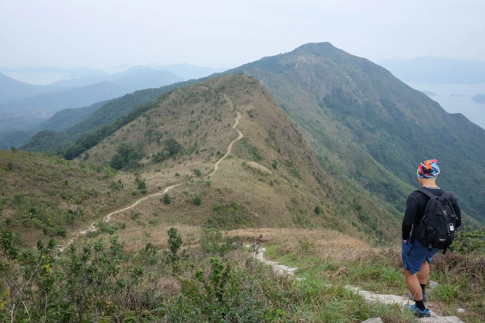
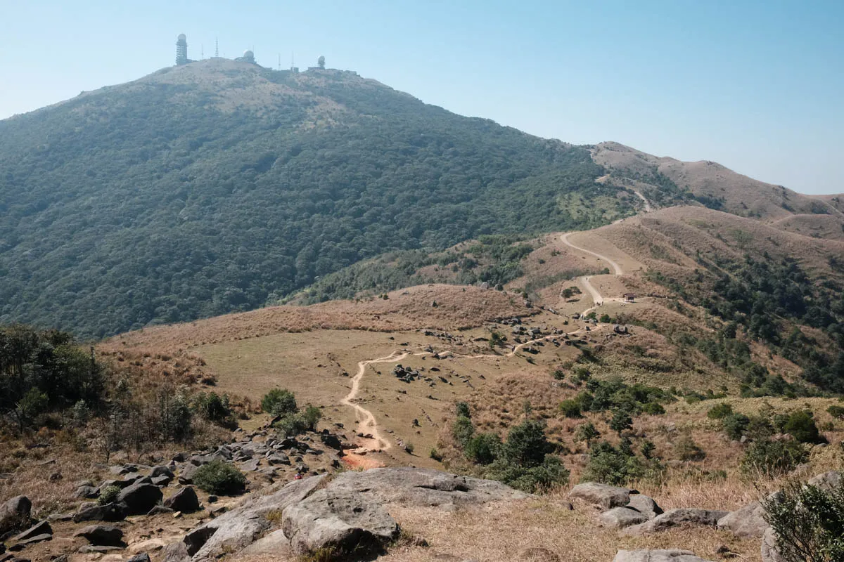
The red and blue walks barely touch 200m of elevation, making them the shortest and easiest hikes. The brown and yellow hikes goes up to 360m of elevation at the South West side towards Grassy Hill. The Needle Hill and Grassy Hill Hike is also a great hike — more bare and more elevation, but the views are amazing.
Trail surface
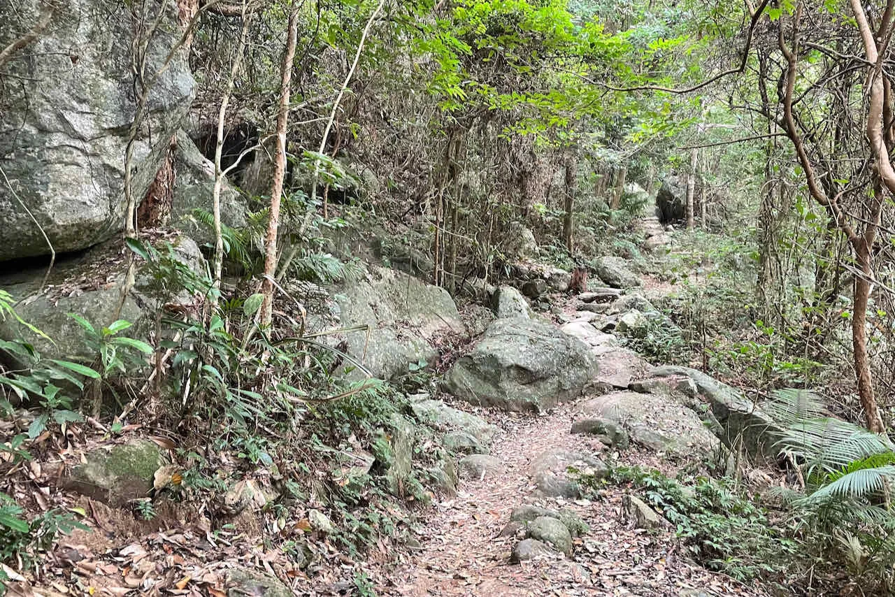
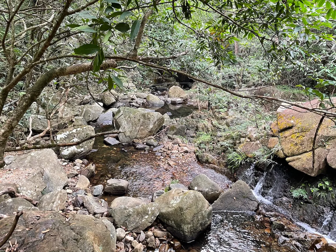
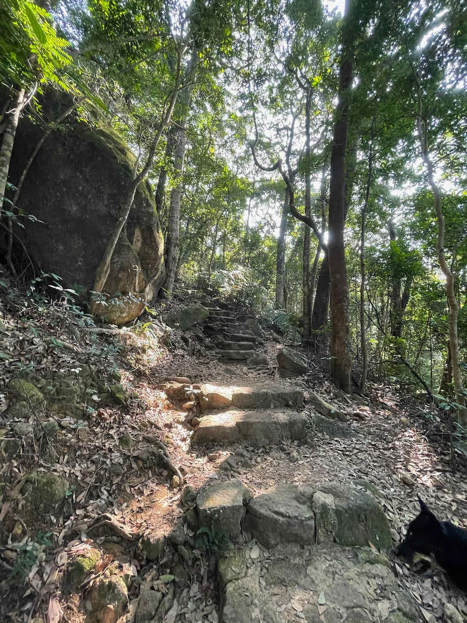
The trails at Tai Po Kau are mostly a mix of dirt and large, even rocks. Some sections have more uneven rocks but they’re quite easy to walk on. Overall an enjoyable trail surface to hike. The short section up from Tai Po Road is paved. Take the Tai Po Nature Trail early on to avoid the concrete road.
Transport
Going to the starting point
- Take the 28K minibus from Tai Po Market MTR 港鐵大埔墟站
- Get of at Chueng Tsai Yuen 松仔園 bus stop (marked on the map)
- Walk up the concrete road, or take the left path with a gate marked “Tai Po Kau Nature Trail”, and at the next junction take a left for Brown/Yellow walk, or continue straight to Red/Blue walk.
Leaving the finishing point
- All walks are circular and you’ll end up where you started
- Walk back to Tai Po Road and take the 28K minibus back to Tai Po Market MTR 港鐵大埔墟站
 Hike Hong Kong