Mui Wo to Pui O Beach Hike
Map
Description
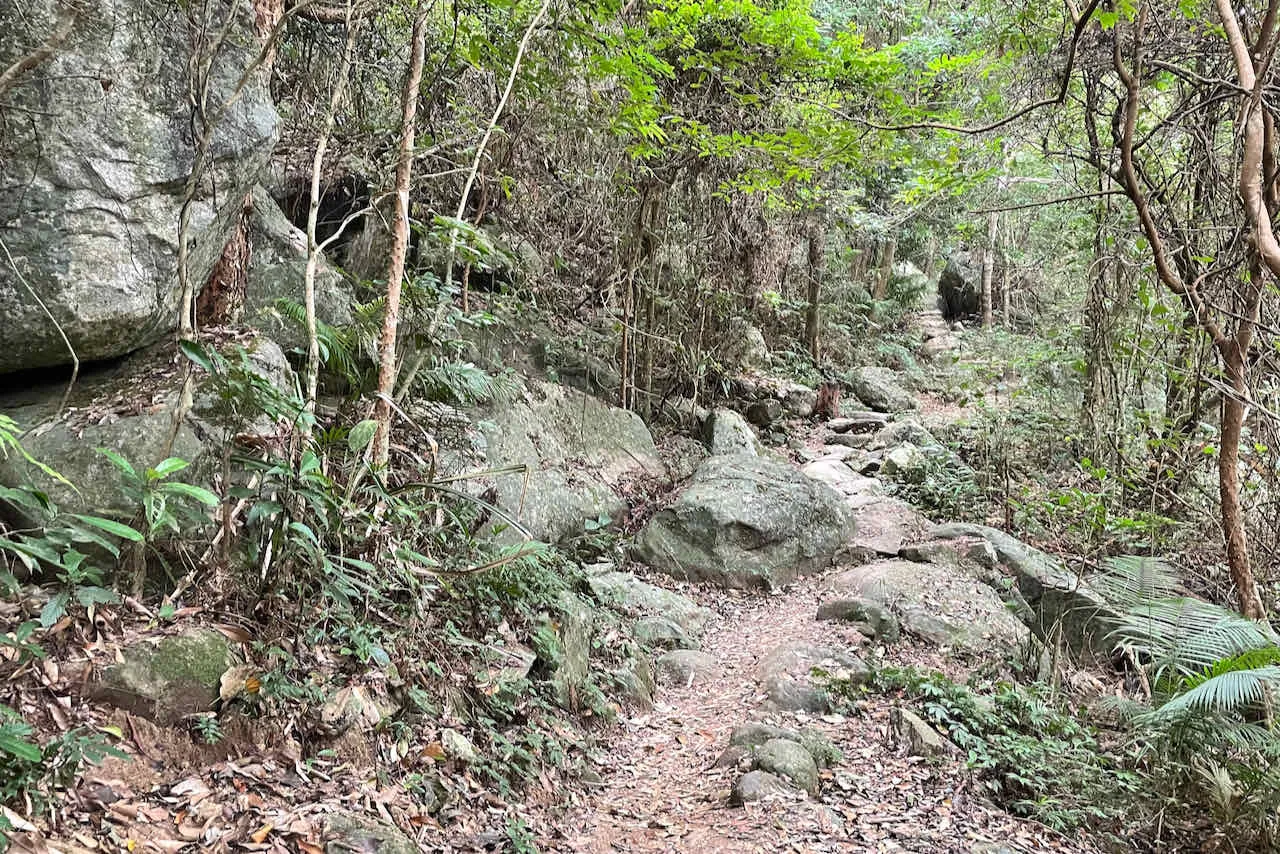
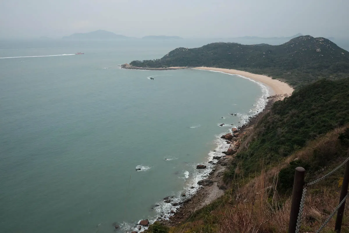
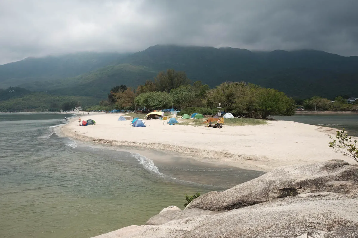
The hike from Mui Wo to Pui O beach features views of the surrounding ocean southeast of Lantau Island. The moderate hike has a 260m elevation and is great for people who love nature and beaches.
Make sure to bring plenty of water on a sunny day, as the hiking path is quite bare and there is few shaded resting spots.
Hike elevation
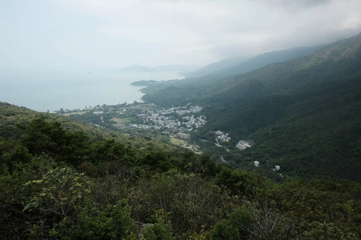
The maximum elevation of this hike is roughly 260m above sea level at Tai Ngau Wu Teng. The ascent and descent are moderate. Areas near the start and end of the hike are flat and easy to walk.

Trail surface
The majority of the trail is dirt/clay with rock steps that is easy to walk in. However, there is a small section where the clay steps started to erode from the rock structures.
Transport
Going to the starting point
Take the Mui Wo ferry from Central, or bus 3M from Tung Chung to Mui Wo.
Leaving the finishing point
Take bus 3M from Pui O to Tung Chung, or the opposite direction to Mui Wo ferry pier.
 Hike Hong Kong