Tai Tam Reservoir Hike

Map
Description
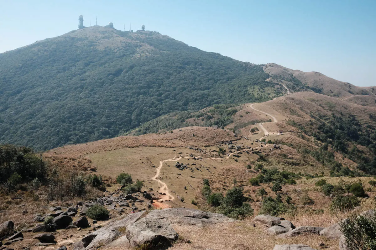
Hong Kong Trail Section 6 begins at Mount Parker Road, runs along the east side of Tai Tam Reservoirs, and ends at Tai Tam Road. Located deep into the mountains, there are no roads or transport near the starting point. The easiest way to get there is to walk the Quarry Bay Tree Walk and Mount Parker Road from Quarry Bay—around 260m ascent, which takes an additional 1-2 hours. Section 6 is an easy hike with a gradual descent and flat surface.
At Tai Tam Byewash Reservoir (the second reservoir in the hike,) I was surprised to see koi fish. Koi in a reservoir is something I’ve never seen before. I wonder what happened here.

Hike elevation
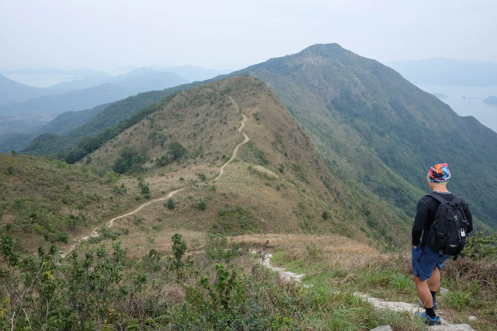
Section 6 starts at 340m above sea level. The trail slowly descents to 160m at Tai Tam Reservoir.
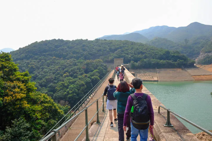
The rest of the trail from Tam Tam Reservoir to Tai Tam Road further descents to 60m. The low gradient and relatively flat terrain makes it one of the easiest hikes in Hong Kong.
Trail surface
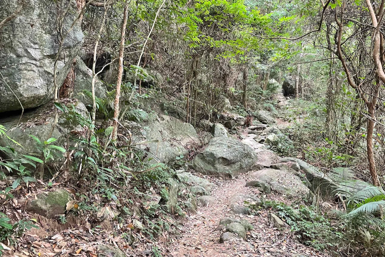
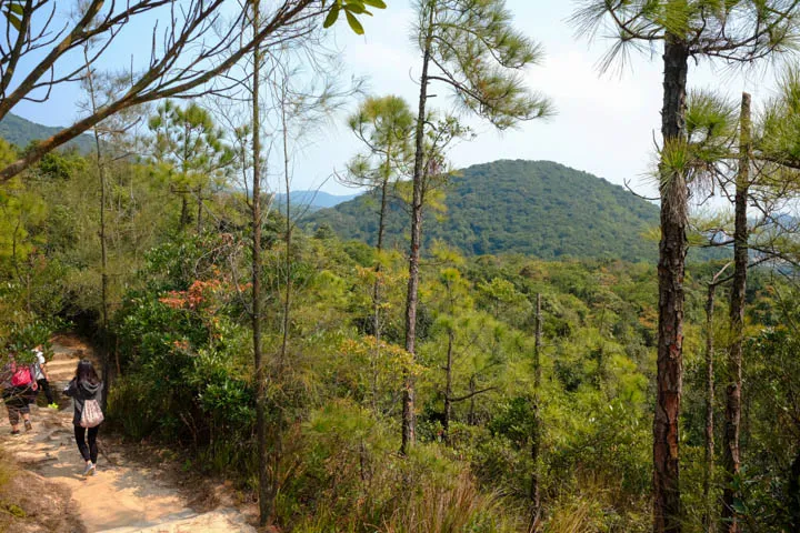
The first half of the hike’s surface is made of concrete and asphalt. Shortly after crossing the Tai Tam bridges, the trail makes a left turn leaving Tam Tam Reservoir Road. The path onward transitions to a more comfortable dirt path with minimal rock steps.
Transport
Going to the starting point
Walk up Quarry Bay Tree Walk and Mount Parker Road (southbound) from Tai Koo/Quarry Bay to get to the starting point. It’s a 260m ascent that takes an additional 1-2 hours.
Leaving the finishing point
Take bus 14 from Tai Tam Reservoir bus stop to Sai Wan Ho.
 Hike Hong Kong