Needle Hill and Grassy Hill Hike
Map
Description
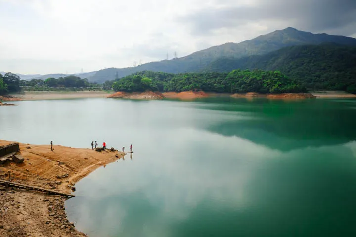
Maclehose Trail Section 7 is a hike along the ridges in Shing Mun Country Park. It begins at Shing Mun Reservoir and ends at Lead Mine Pass, through Needle Hill and Grassy Hill.
⚠ The ending point’s closest transport options are 1-2 hours walk away (Tai Po or Fo Tan marked in map.)
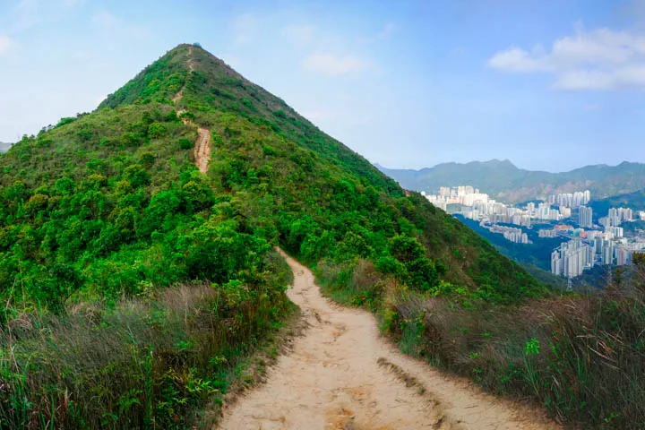
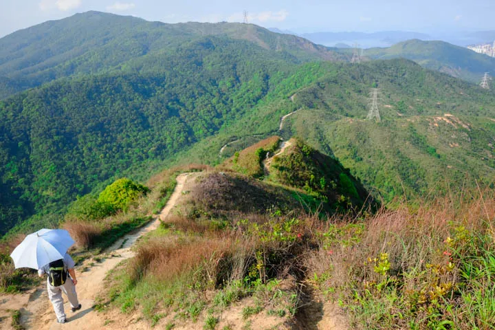
The hike offers serene views of Shing Mun Reservoir and the mountain ridges. On a clear day, views of West Kowloon and New Territories (from Tsuen Wan to Cheung Sha Wan,) and even the Ting Kau Bridge are visible from the climb to Needle Hill (532m.) On the opposite side, facing east, are views of Tai Wai and Sha Tin with a backdrop of mountains from earlier Maclehose sections, including Lion Rock.

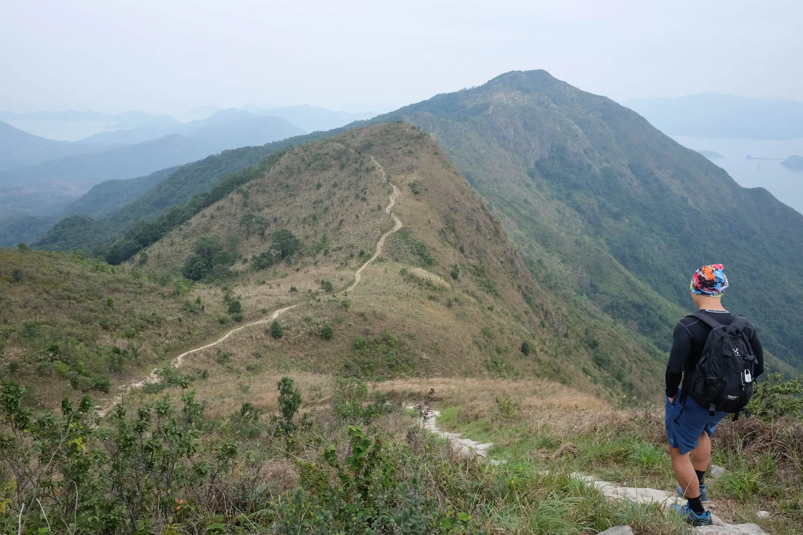
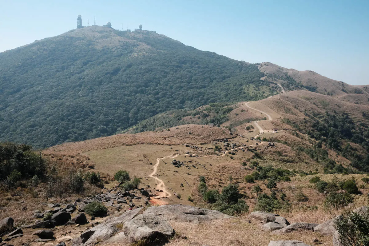
Past Needle Hill, the trail continues north towards Grassy Hill at 647m. The climb to Grassy Hill is more gradual compared to Needle Hill. As the name suggests, Grassy Hill is quite grassy, and is home to plenty of cows. At higher elevations, enjoy the views of Tai Po, Fanling, Sheung Shui, and Lo Wu.
Hike elevation
The hike begins at 200m above sea level. Past Shing Mun Reservoir, the trail climbs moderately to Needle Hill’s peak at 532m.
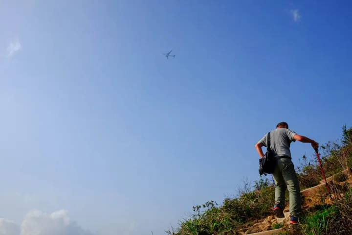
The decent from Needle Hill is consistent and gradual. The ridges continue towards Grassy Hill, a low gradient ascent to 647m. The descent from Grassy Hill is the steepest section of the hike, dropping quickly to 420m through continuous steps.
Trail surface
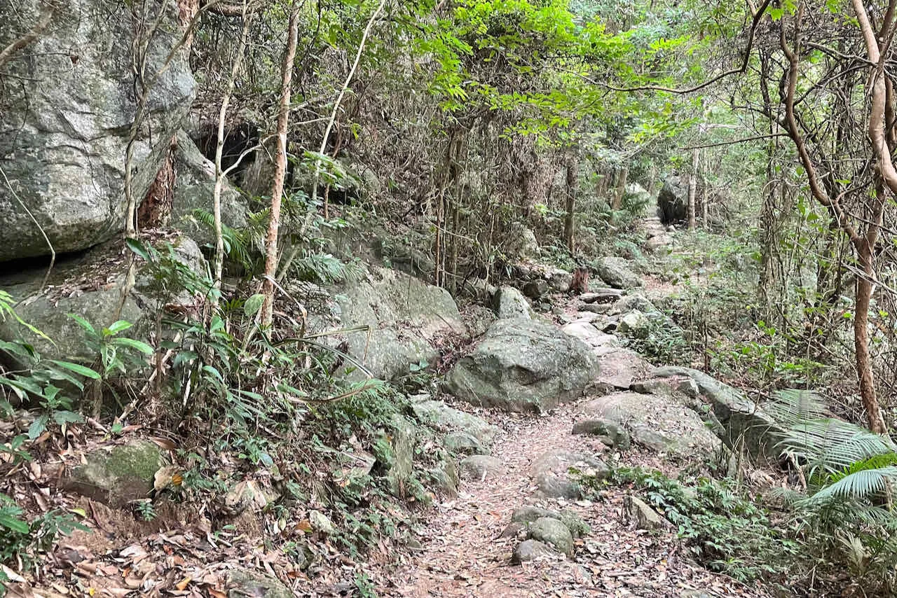
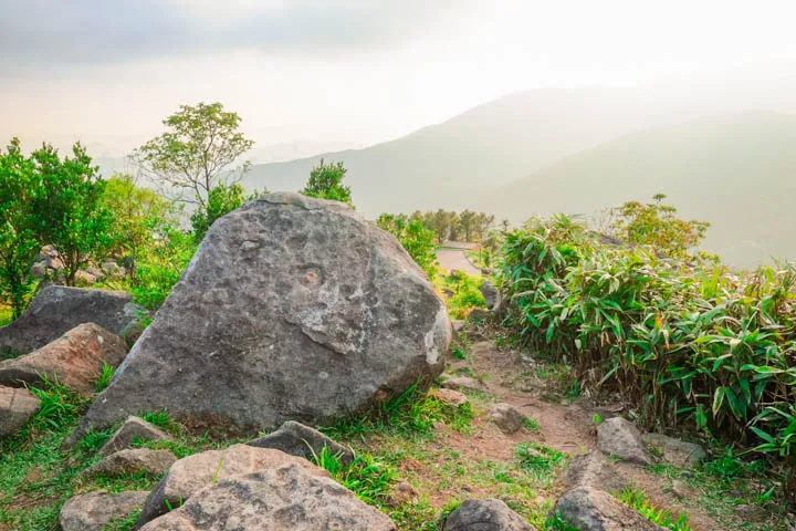
The beginning section near Shing Mun Reservoir has an asphalt road surface with minimal gradient. Past the dam, the trail transitions into rock/concrete steps and dirt that are easy to hike. The climb up Needle Hill is mostly made of dirt and rock steps, supported by metal L brackets and vertical wooden planks.
During the descent, the path changes to asphalt with low gradient slopes. The asphalt surface continues throughout the ascent of Grassy Hill. The steep descent from Grassy Hill returns to dirt and rock steps.
Transport
Going to the starting point
Minibus 82 from Tsuen Wan to Shing Mun Reservoir.
Alternativey, there are plenty buses that go to Lei Muk Shue bus terminus:
- 36 from Tai Wo Hau
- 36M from Kwai Fong
- 36A from Mei Foo
- 36B from Lai Chi Kok
Leaving the finishing point
⚠ The ending point’s closest transport options are 1-2 hours walk away
To Tai Po: Walk Wilson Trail Section 7 and hop on 23K/23S minibus at San Uk Ka towards Tai Po Market.
To Sha Tin: Walk trail east of Grassy Hill peak towards Fo Tan and take the 60K minibus from Kwai Tei New Village to Sha Tin station.