Sai Kung Hike - Sharp Peak, Long Ke, Ham Tin
Map
Description
Maclehose Trail Section 2 is a trail that runs along the east peninsula of Sai Kung. It starts at Long Ke, near East Dam of High Island Reservoir, and heads north, passing by Long Ke beach. From there, the trail makes an ascent to Sai Wan Shan, and then down to Sai Wan and Ham Tin beach. The trail continues west towards Chek Kang, and ends at Pak Tam Au.
Keep in mind there is no public transport to the starting point of the hike. A taxi ride from Sai Kung Town Center costs around HKD 100. Alternatively, start your hike three hours earlier and hike Section 1, an easy walk from Pak Tam Chung.
Hike elevation
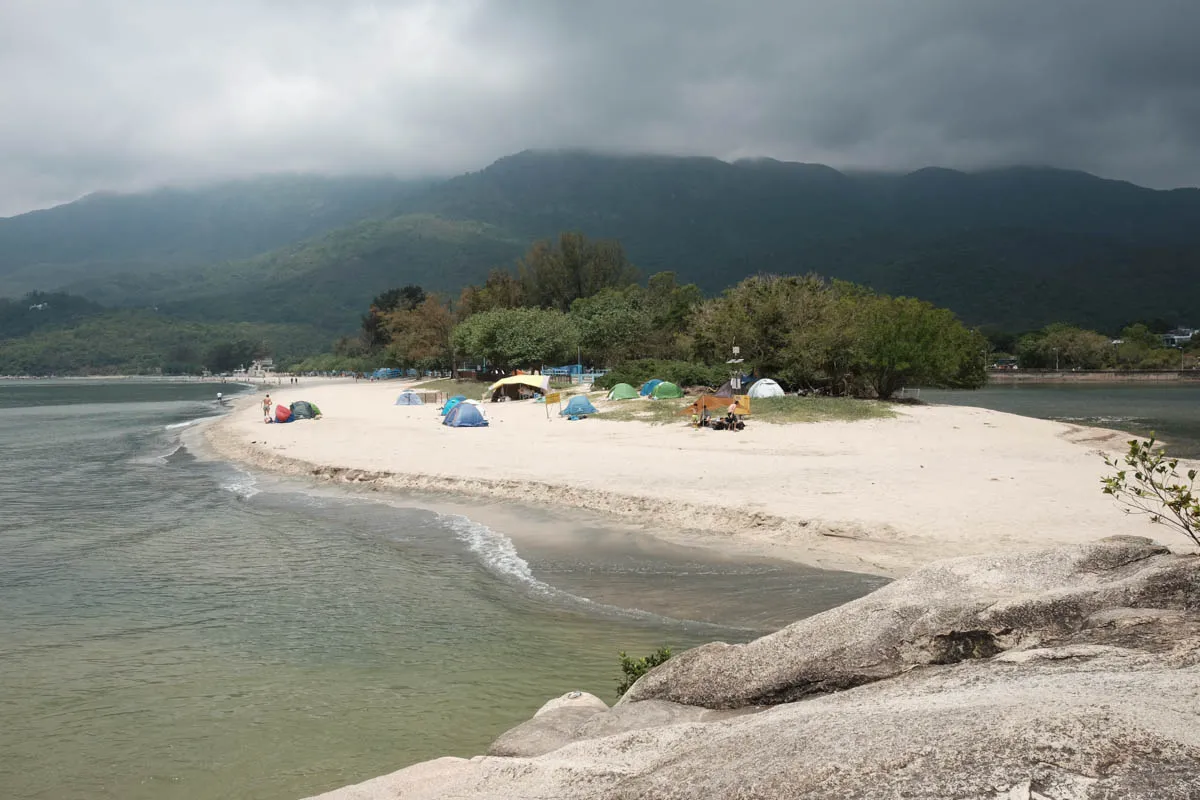
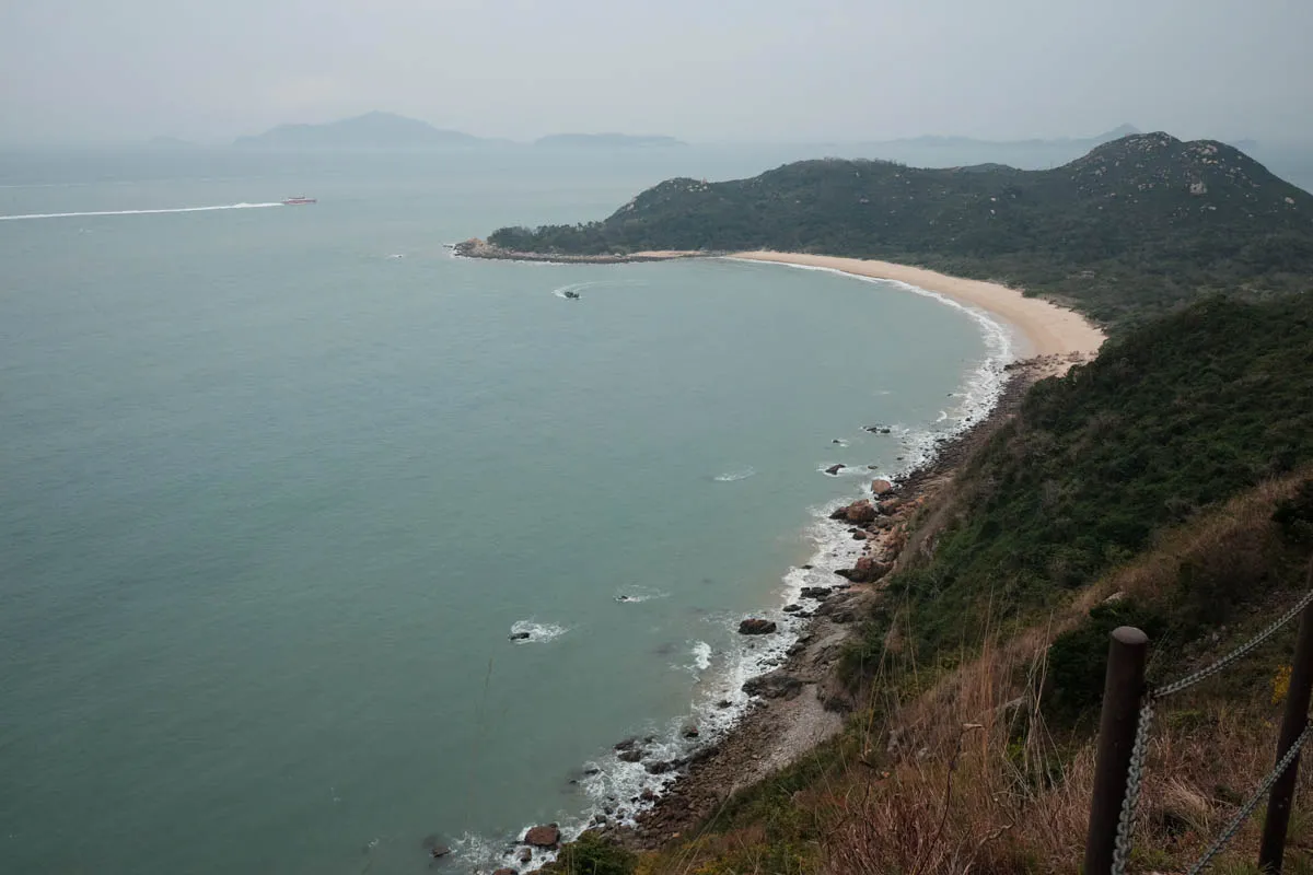
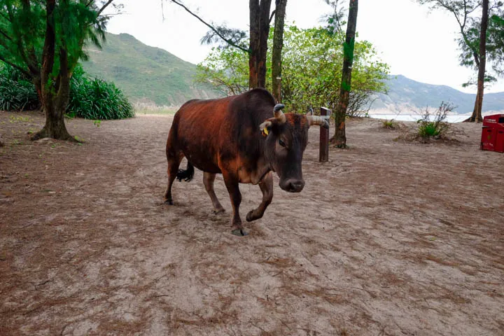
The starting point at Long Ke is at 100m above sea level. The trail dips to sea level at Long Ke Wan beach, a popular place for camping with views of the surrounding coastline and roaming cows.
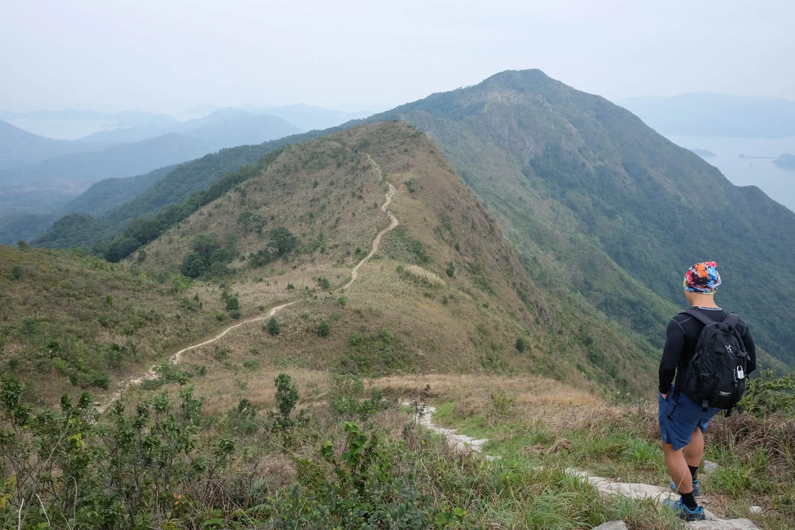
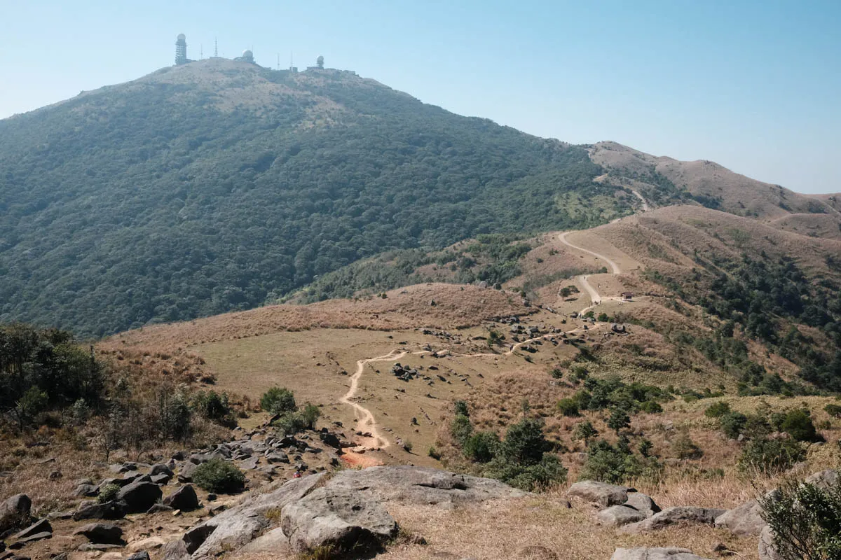
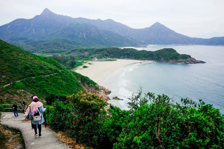
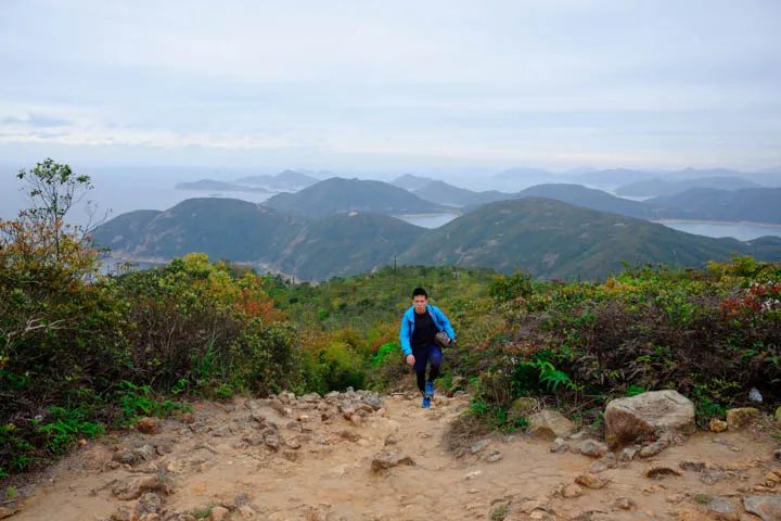
Continuing from the north side of the beach, the trail makes a steep ascent to Sai Wan Shan at 314m, a magnificent view of the High Island Reservoir. On the descent down to Sai Wan Tsuen at sea level, enjoy the view of the northeast Sai Kung mountains, most notably Sharp Peak, the highest and pointiest peak of the area.
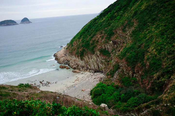
Past Tai Long Sai Wan, another camp site beach, there’s a small ascent and descent along the east coast towards Ham Tin. The orange coastal rocks are reminiscent of the volcanic hexagonal columns at Long Ke. The trail continues to the left of the beach, and there’s a large sand area with no signs or directions. Head north, and at the end of the sand area there is a visible path to the left side.
Heading inland, the trail goes through Tai Long, where there are several stores and restaurants. Past there, there’s a steep ascent to a ridge at 140m, and a moderate descent down to Chek Keng at sea level. The last section of the trail to Pak Kam Au is an easy walk up to 140m.
Trail surface
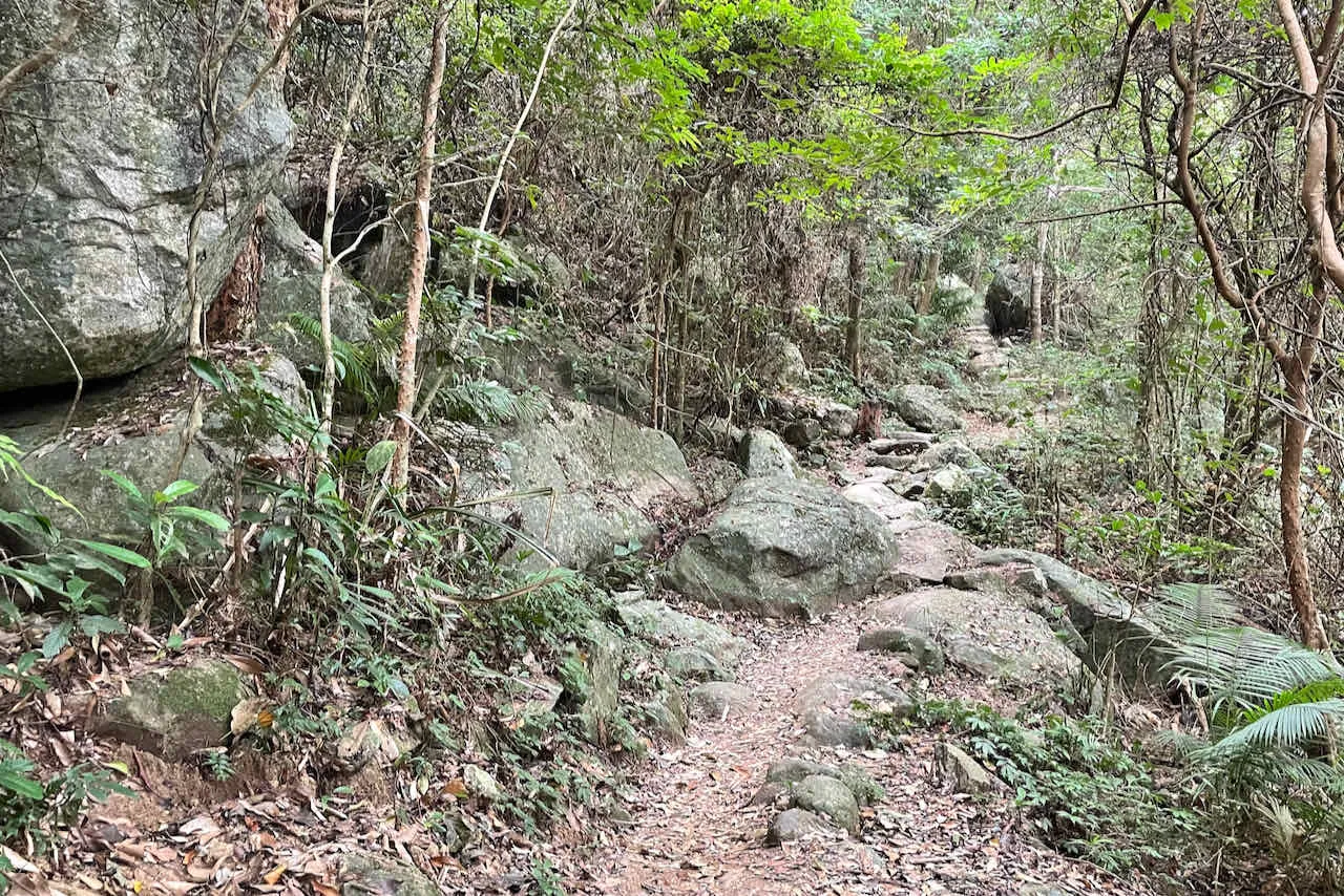
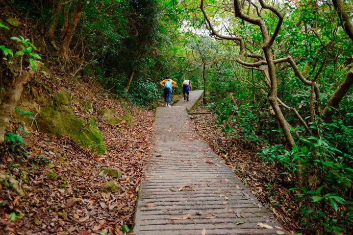
Maclehose Trail Section 2 features an impressive mix of surfaces. The ascent to Sai Wan Shan is a mix of dirt path, flat rock steps, and irregular rocks. The descent is paved with bricks and concrete. And then there’s sand at the three beaches along the path. The rest of the trail is mostly concrete, even the steep ascents and descents between Tai Long and Chek Keng, which makes it difficult to walk and tough on the ankles.
Transport
Going to the starting point
⚠ There is no public transport access to the starting point. Get there by hiking Section 1, an easy 3-hour walk, or taking a taxi to High Island Reservoir East Dam (around HKD 100 from Sai Kung Town Center.)
Leaving the finishing point
Take bus 94 from Pak Tam Au bus stop to Sai Kung.