Ngong Ping Hike

Map
Description
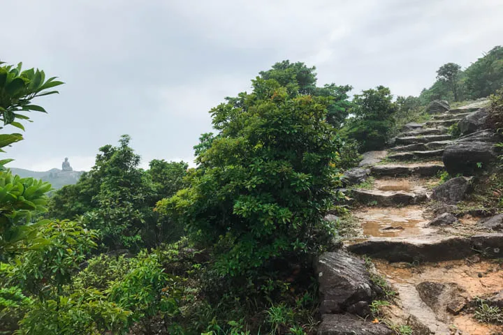
Lantau Trail Section 3 is a short hike around the north side of Ngong Ping. The trail offers views of the Ngong Ping village, including Tian Tan Buddha, from a high vantage point.
Make sure to also check out the Wisdom Path at the ending point of Section 3 and the beginning point of Section 4. The path is lined with 38 wooden monuments inscribed with the Heart Sutra prayer and created by Professor Jao Tsung-I. The columns are arranged in a figure-of-eight formation to symbolize infinity.
Past the village, the trail heads southwest along Ngong Ping Road. By the road is Shek Pik Viewing Point, a windy spot situated right above two cliffs. The trail continues down the road and ends at Sham Wat Road.

Hike elevation
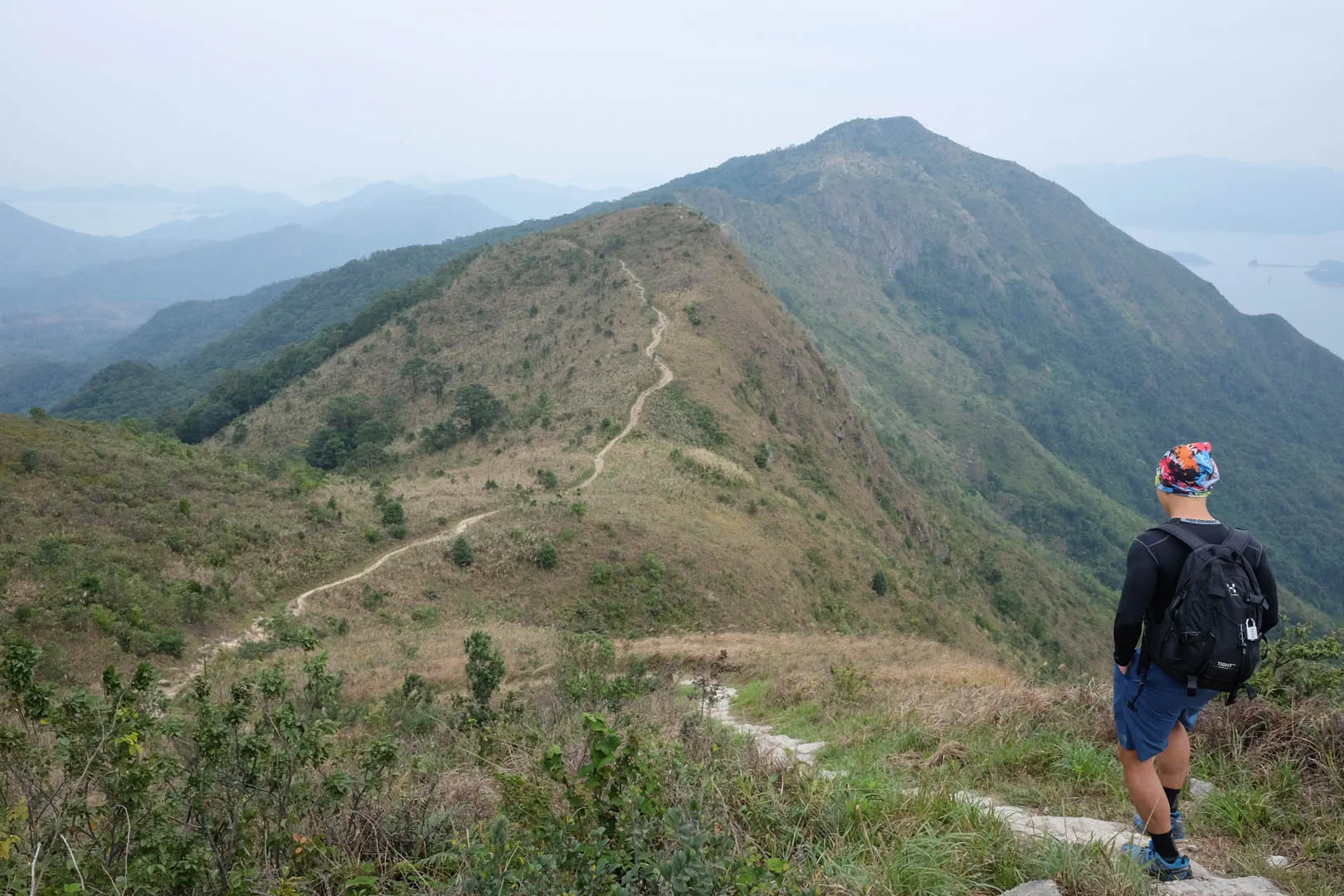
Section 3 starts at the base of Fung Wong Shan at 460m above sea level. The beginning section ascends to 530m and maintains that altitude along the north side of the village while heading westbound. The trail descends back to 440m at Ngong Ping Piazza.

Upon leaving Ngong Ping, the trail descends though the gentle slopes of Ngong Ping Road and Sham Wat Road. The ending point is around 260m above sea level.
Trail surface
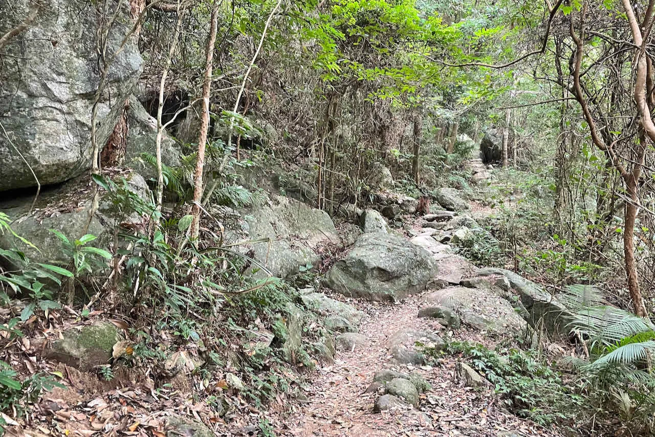
The first half of the trail along the north side of Ngong Ping is a dirt path with wide and flat rock steps. After leaving Ngong Ping, the trail becomes walking the concrete pavement or asphalt car road.
Transport
Going to the starting point
From Mui Wo: Take bus 2 to Ngong Ping.
From Tung Chung: Take bus 23 to Ngong Ping.
Leaving the finishing point
Take bus 1 or 2 to Mui Wo. Take bus 11 or 23 to Tung Chung.
 Hike Hong Kong


