Lion Rock Hike

Map
Description
Maclehose Trail Section 5 stretches across the mountain range between East New Territories and Kowloon. The hike is rated medium difficulty and takes three hours to complete. Hiking up to Lion Rock Head is not part of the trail, but is a popular path for hikers due the iconic rocks and high vantage point it offers. Hiking up to Lion Rock Head increases the difficulty to hard and adds an additional hour to the hike.
The starting point of Section 5 isn’t accessible by transportation. If you’re not continuing from Section 4, you can walk to various points of the trail from the MTR stations on the Kwun Tong (green) line. Expect an additional hour or two for getting there.
Hike elevation
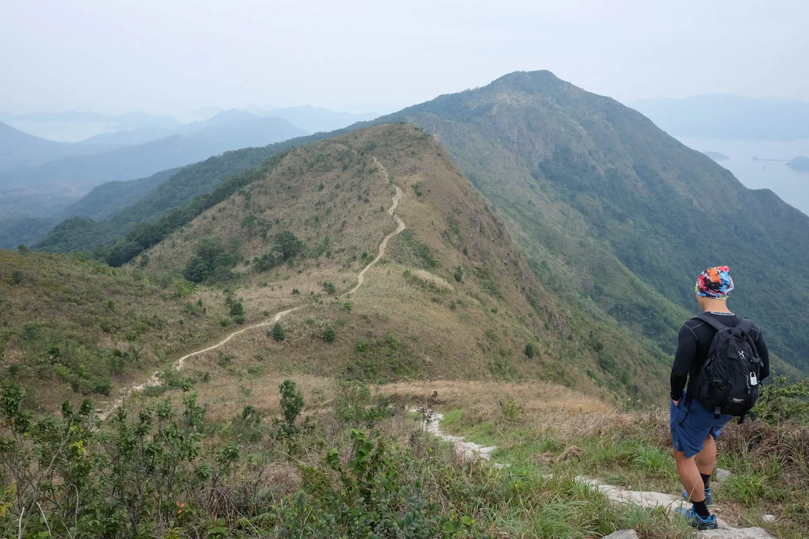
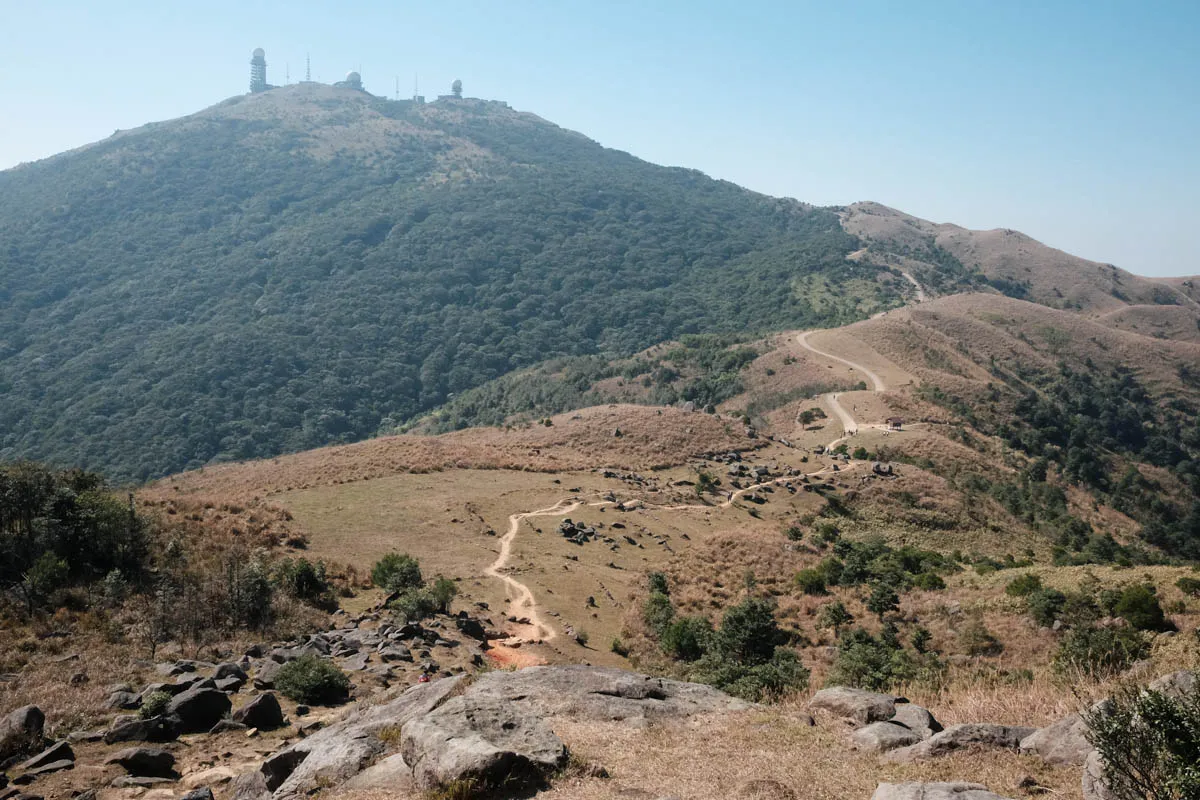
The starting point at Tate’s Cairn is at a high 400m. From there, there’s a steep ascent to 500m before returning to the 400m level. The trail descents to 300m near Sha Tin Pass, and then ascents to 400m again.
Lion Rock Head
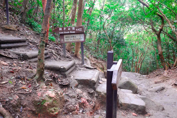
To get to Lion Rock Head, take the left path away from Maclehose Trail (marked in the map.) There’s a steep incline that reaches Lion Rock peak at 495m. After that, continue down the path and it will join Maclehose Trail at 300m elevation.
After passing Lion Rock, the trail leads to another mountain with a gradual ascent to 420m, and then descents and maintains at around the 220-240m range. The finishing point at Tai Po road is at 160m elevation.

Trail surface
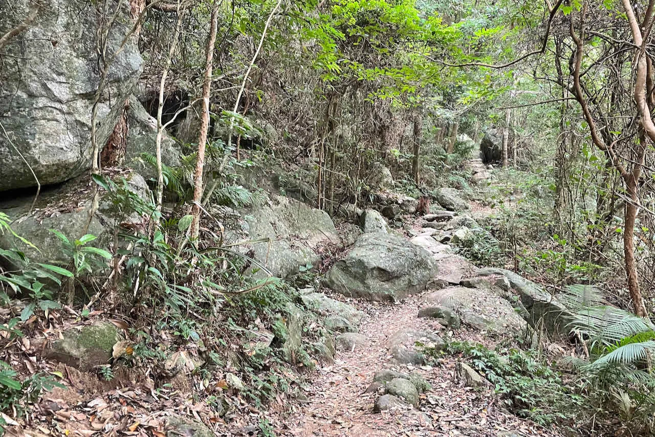
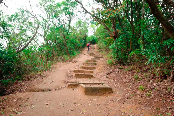
The ascent is paved with rock and U-shaped concrete-dirt steps that are quite wide. Most of the path is quite wide and the dirt path to the side of the steps are more comfortable to walk on.
Lion Rock Head
The 0.5km hike towards Lion Rock Head is steep compared to Maclehose Trail Section 5. The steps get tighter, so make sure to walk up at a steady pace and carry extra water if you plan to go to Lion Rock head.
Danger signs
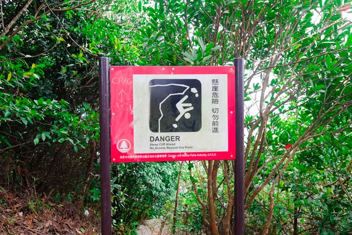
Lion Rock is known for the incidents where hikers fall to their death. It is known. Make sure you don’t cross the danger signs placed along the trail.
Transport
Going to the starting point
The starting point of Section 5 isn’t accessible by transportation. If you’re not continuing from Section 4, you can walk to various points of the trail from the MTR stations on the Kwun Tong (green) line. Expect an additional hour or two for getting there.
Leaving the finishing point
- Shek Lei Pui Reservoir bus stop on Tai Po Road
- KMB Bus 72 to Tai Po via Sha Tin or Cheung Shan Wan
- KMB Bus 81 to Sha Tin or Kowloon
 Hike Hong Kong