Lantau Peak Hike
Map
Description
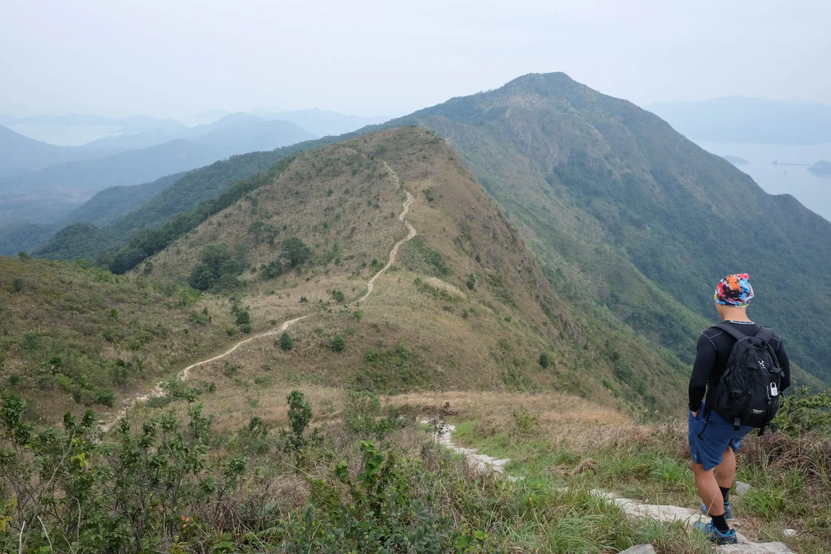
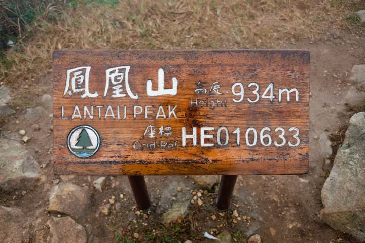
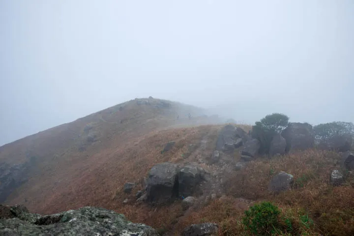
Lantau Peak, also known as Phoenix Mountain—Fung Wong Shan in Cantonese, is the second highest peak in Hong Kong with a height of 934m behind Tai Mo Shan (957m.) Hiking Lantau Peak involves climbing up and down plenty of rocky steps.
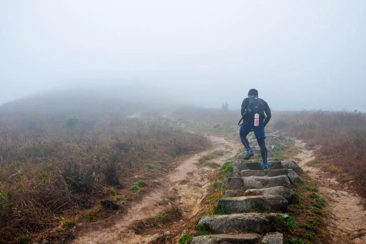
On cloudy days, most of the trail is covered in clouds, which creates a mysterious atmosphere. The weather gets colder and more windy at higher altitudes, so make sure you pack an extra layer of clothing and headwear. During my hike on a wet day in January, my hoodie wasn’t warm enough and I had to wrap my spare T-shirt around my head to cover my ears, which made me look like I had Princess Leia’s hairbuns.
Hike elevation
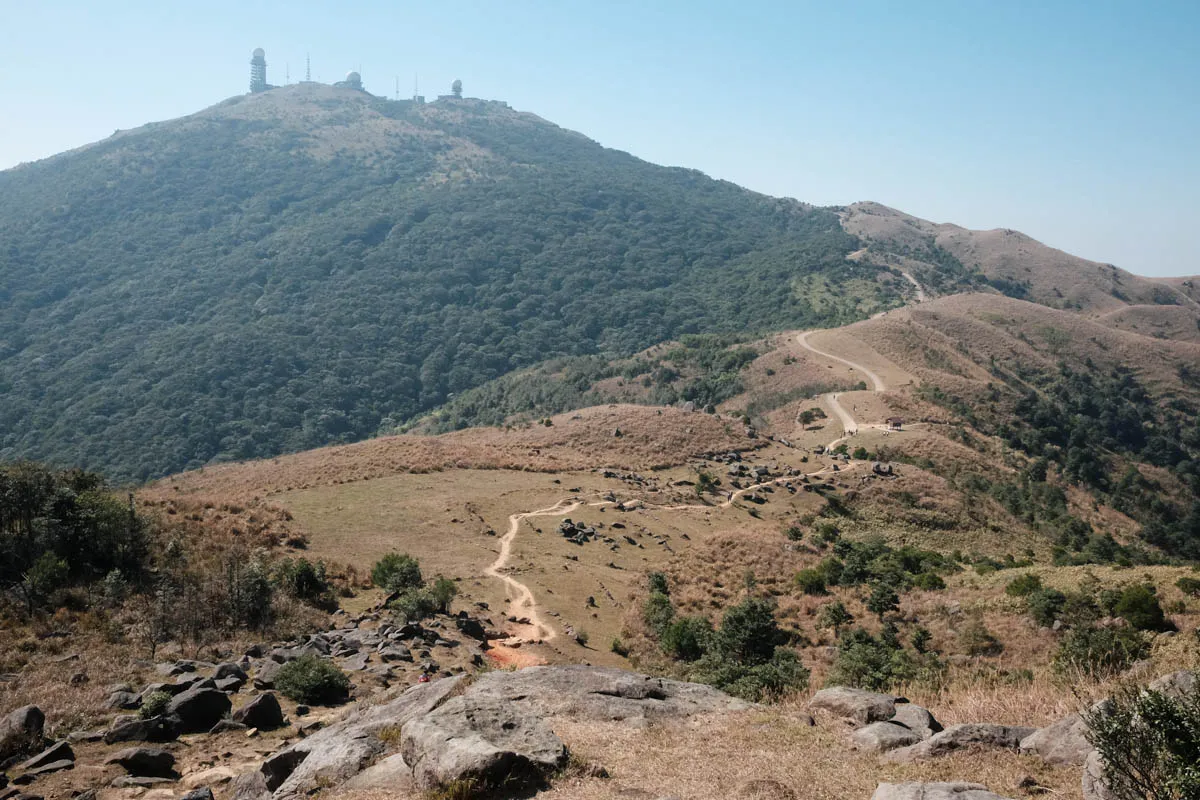
The trail starts at Pak Kung Au at 320m above sea level. The majority of the trail is a fairly straight path that heads west towards Lantau Peak. Lantau Peak is 934m above sea level, which makes it a 600m+ ascent. It may seem a lot for a two-hour hike, but the ascent is gradual. Walk at a comfortable, constant pace, and make sure to bring plenty of water.
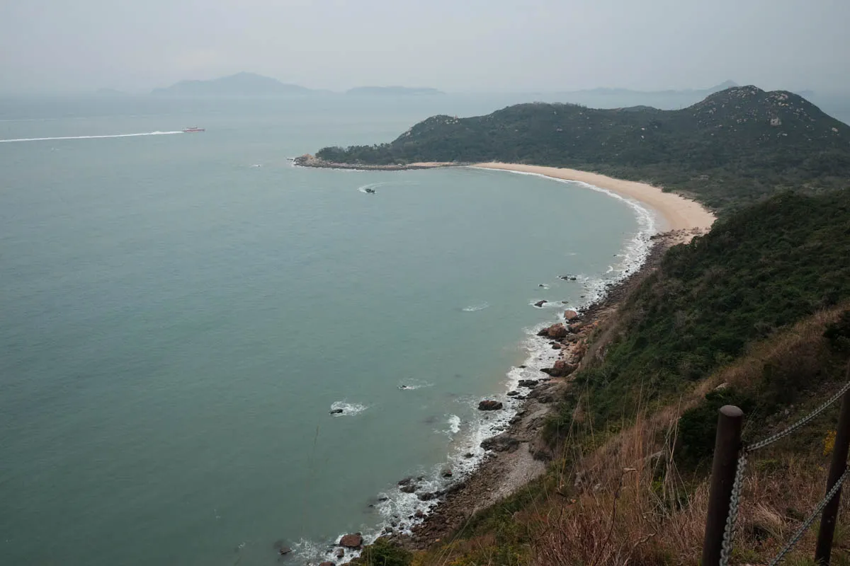
At the peak, there is a shelter, which is usually filled with trash. The descent down to Ngong Ping is a lot steeper than the ascent. The slope on the west side of Lantau Peak is more than double of the east.
Trail surface
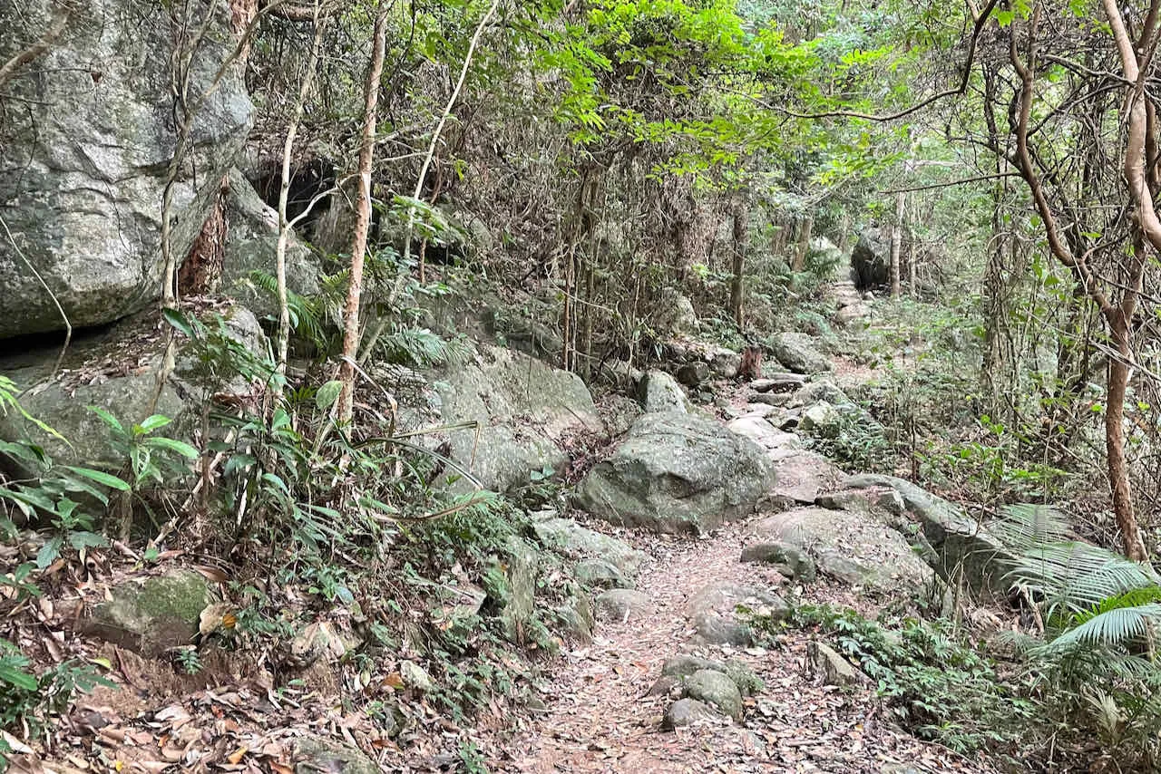
Flat rock steps cover most of the ascents and descents of Lantau Trail Section 3. There are some dirt paths along flatter sections of the hike. Be careful when going downhill, as the flat rocks don’t provide much grip and can get extremely slippery in wet conditions. When the gradient is steep, try to take smaller steps to keep your balance.
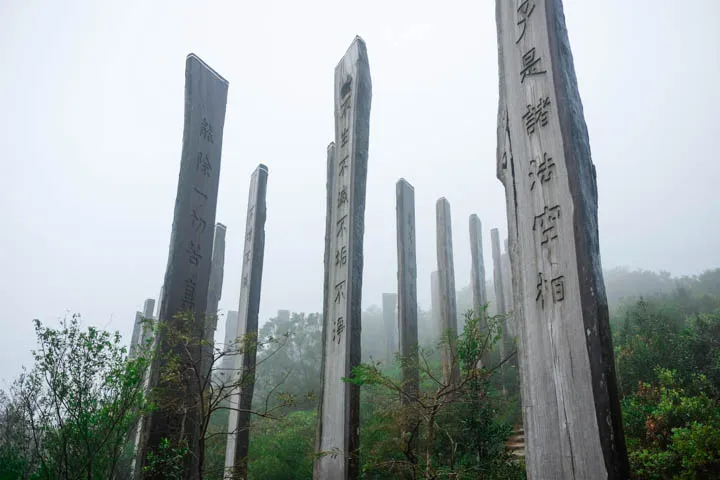
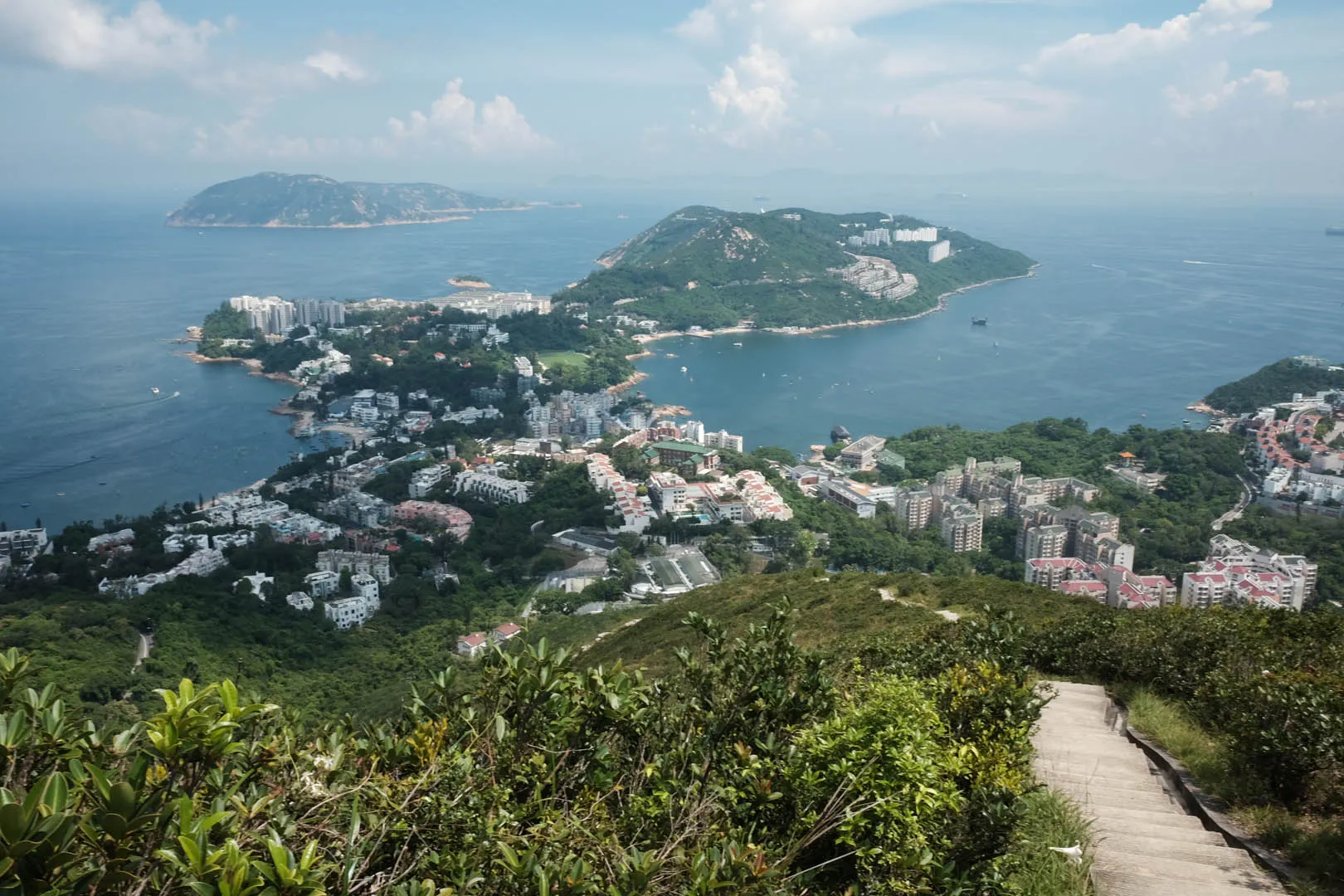
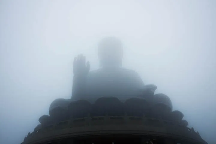
The finishing point leads to Wisdom Path, a path lined with 38 wooden monuments inscribed with the Heart Sutra prayer created by Professor Jao Tsung-I. The columns are arranged in a figure-of-eight formation to symbolize infinity. Tian Tan Buddha (Big Buddha,) a large bronze sculpture and popular tourist attraction, is located to the west of the finishing point, next to Po Lin Monastery.
Transport
Going to the starting point
From Mui Wo: take bus 3M towards Tung Chung and get off at Pak Kung Au bus stop.
From Tung Chung: Take bus 3M, 11, or 23 towards Mui Wo and get off at Pak Kung Au bus stop.
Leaving the finishing point
Take bus 2 to Mui Wo, or 23 to Tung Chung.