Keung Shan and Ling Wui Shan Hike
Map
Description
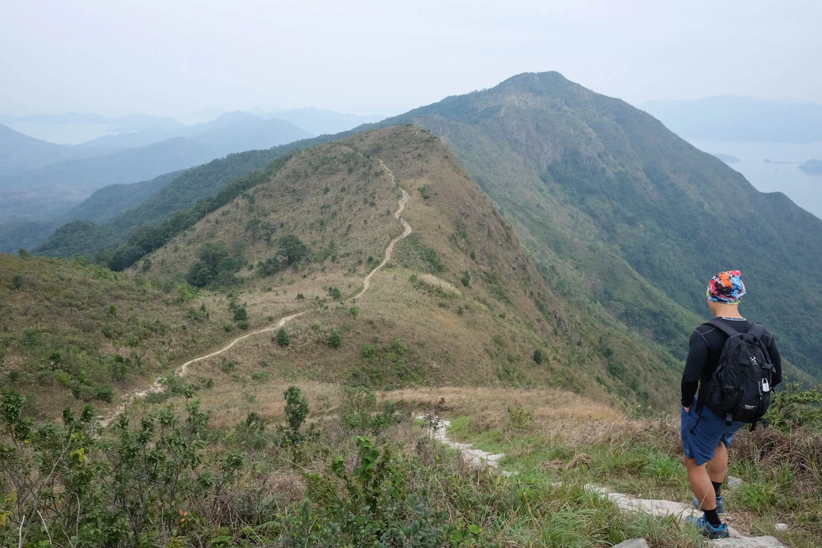
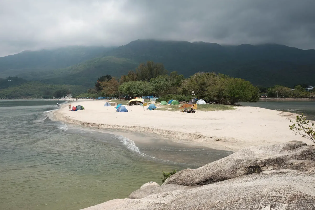
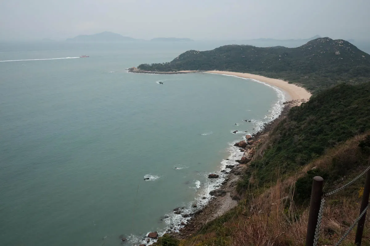
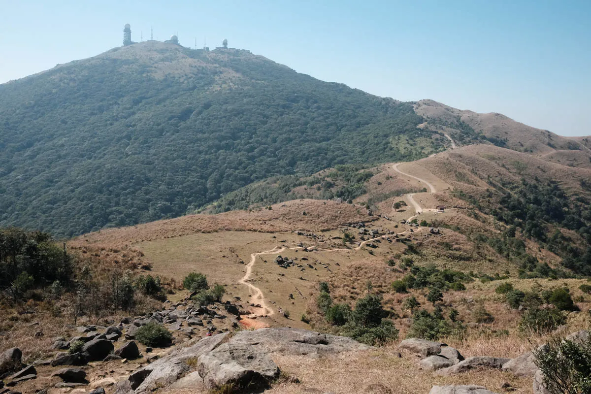
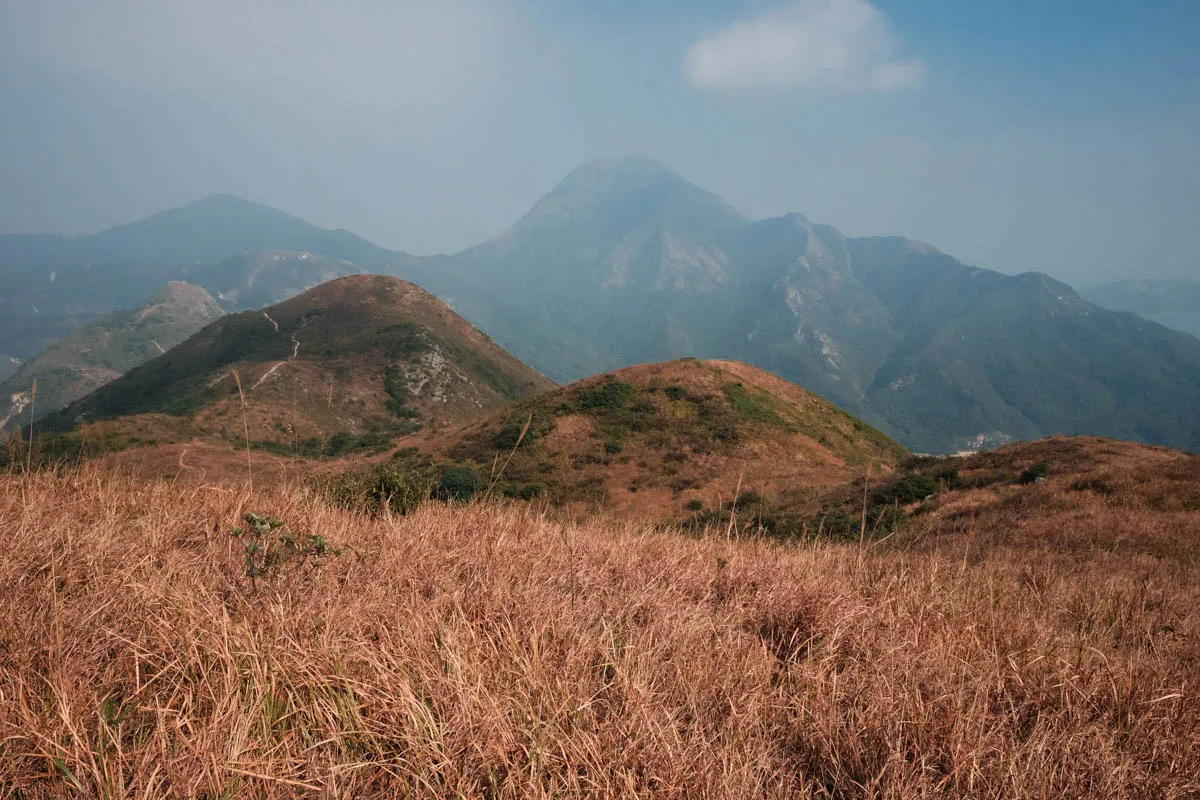
Lantau Trail Section 5 begins at Keng Shan Road by the Sham Wat Road bus stop and goes through three mountains: Kwun Yam Shan, Keung Shan (459m) and Ling Wui Shan (490m.) Enjoy scenic views of surrounding southwest-Lantau mountains and oceans at the peaks of each mountain. The trail ends at Lung Tsai Ng Yuen, a private dilapidated park with ponds, bridges, and houses.
Hike elevation
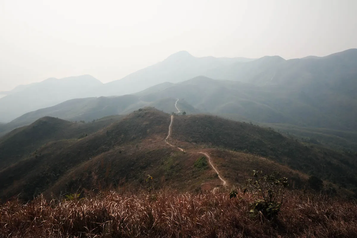
The hike starts at 260m elevation. The trail moderately climbs to the first peak Kwun Yam Shan at 434m. It descends gradually to a ridge at 320m and then ascends to Keung Shan at 459m. Past Keung Shan, the trail drops and rises in a low gradient towards Ling Wui Shan at 490m. The initial descent from Ling Wui Shan is steep and difficult. The trail continues downhill towards Man Cheung Po / Tai O and ends at Lung Tsai Ng Yuen at 220m.
Trail surface
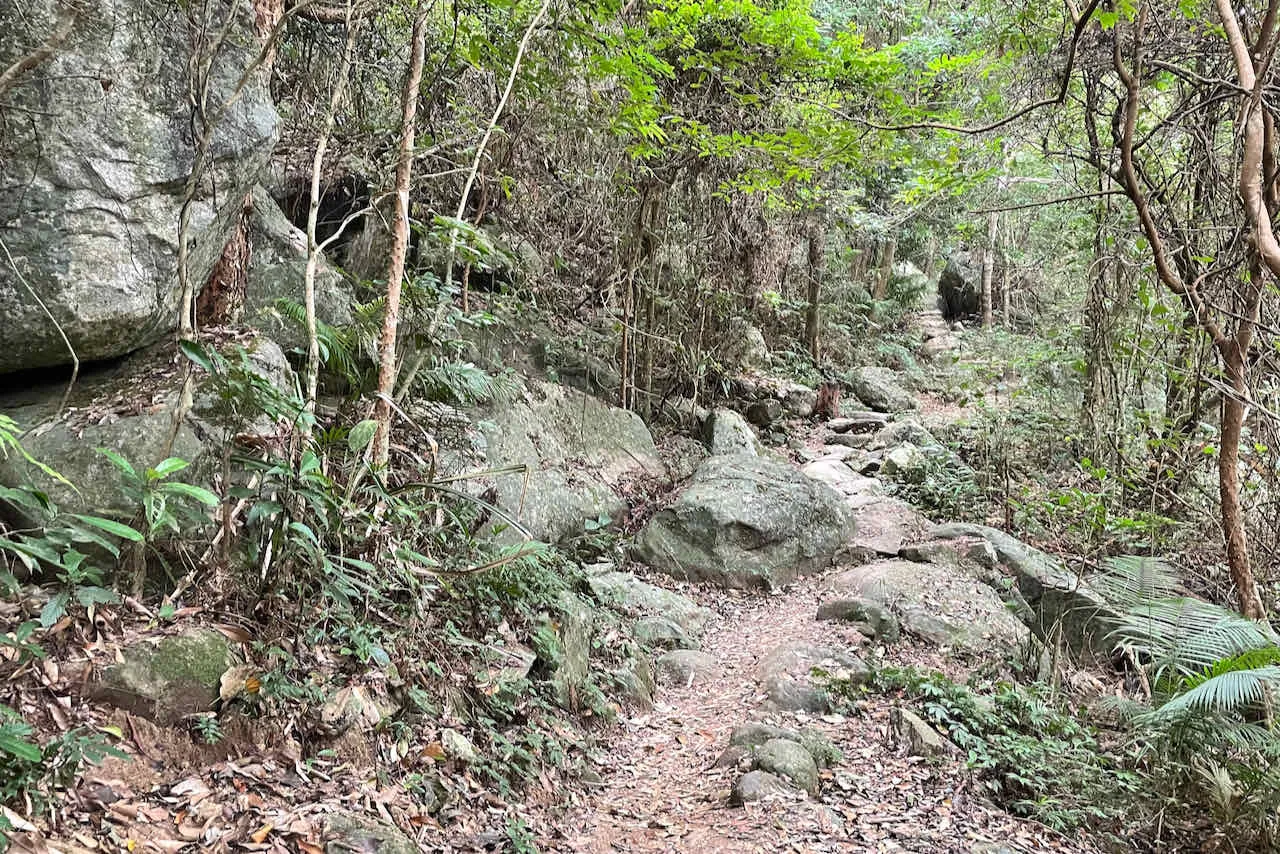
Section 5’s trail surface makes it enjoyable to hike. Mixed regular and irregular rock steps make up the majority of ascents and descents. Along the gentler slopes and plateaus are dirt paths. Overall the trail surface is smooth, and the rocky surface doesn’t make it difficult to hike.
Transport
Going to the starting point
From Mui Wo: Take bus 1 towards Tai O and get off at Sham Wat Road.
From Tung Chung: Take bus 11 towards Tai O and get off at Sham Wat Road.
Leaving the finishing point
Continue to Section 6 (1-hour hike) and take transportation from Tai O: Bus 11 to Tung Chung, or bus 1 to Mui Wo Ferry Pier.