High West Hike and Victoria Peak
Map
Description
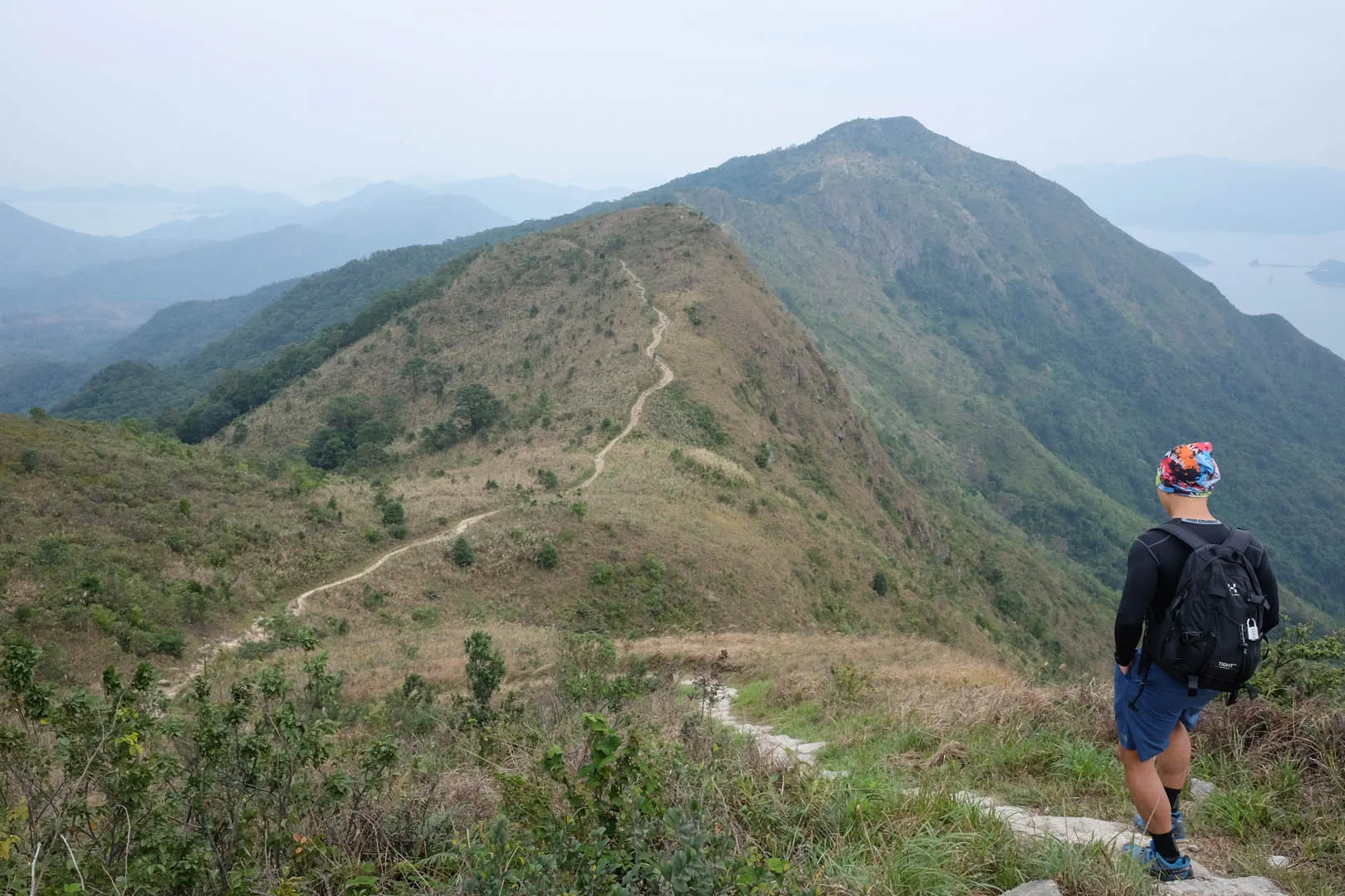
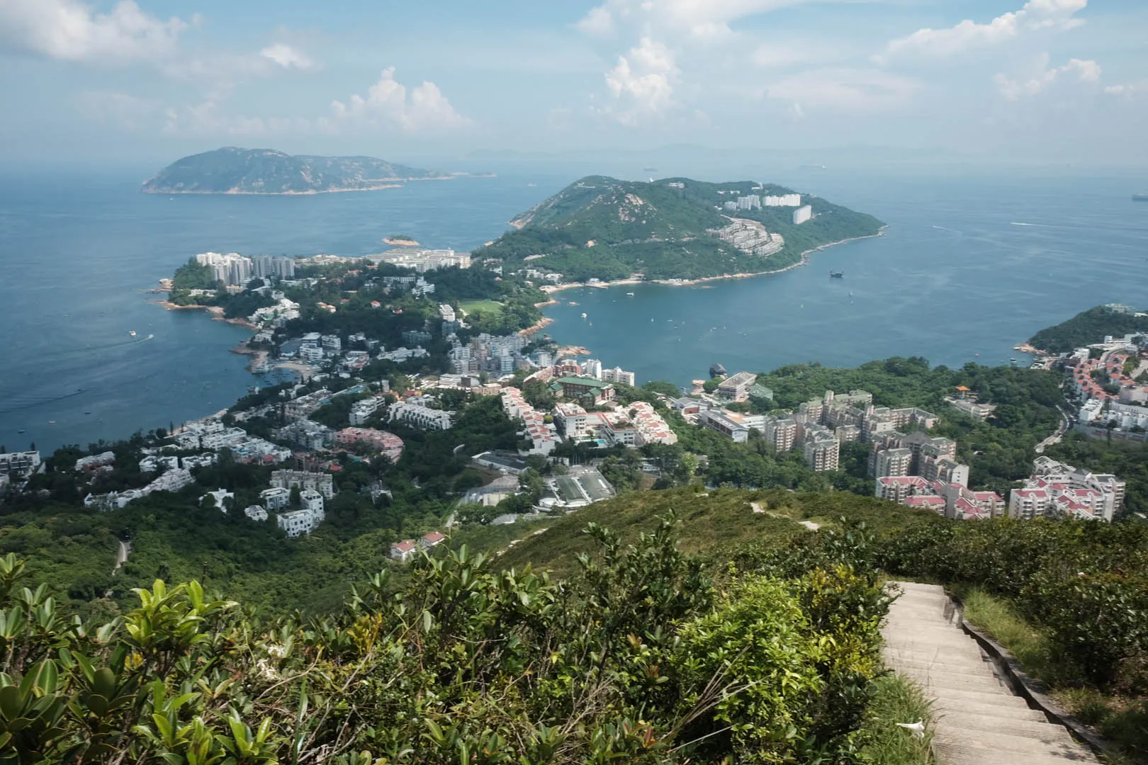
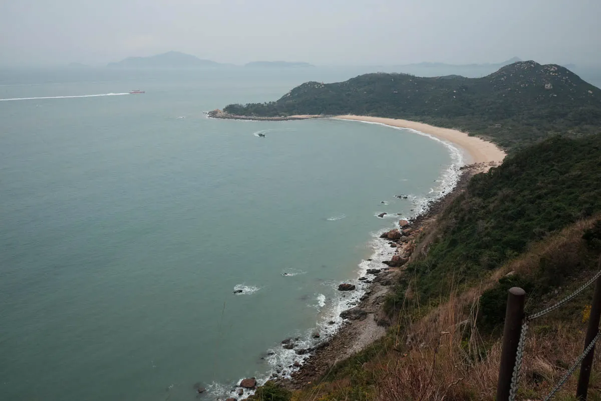
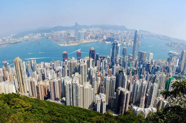
Hong Kong Trail Section 1 begins at The Peak and ends at Pok Fu Lam Reservoir. It covers the East, North and West side of Victoria Peak, and the West and South side of Mount High West. On clear days, the Victoria Harbor (Hong Kong’s iconic skyline view of Hong Kong North coast and Kowloon) is visible throughout the hike around Victoria Peak. Section 1 is also great for viewing eagles, plants, and butterflies.
Hike elevation
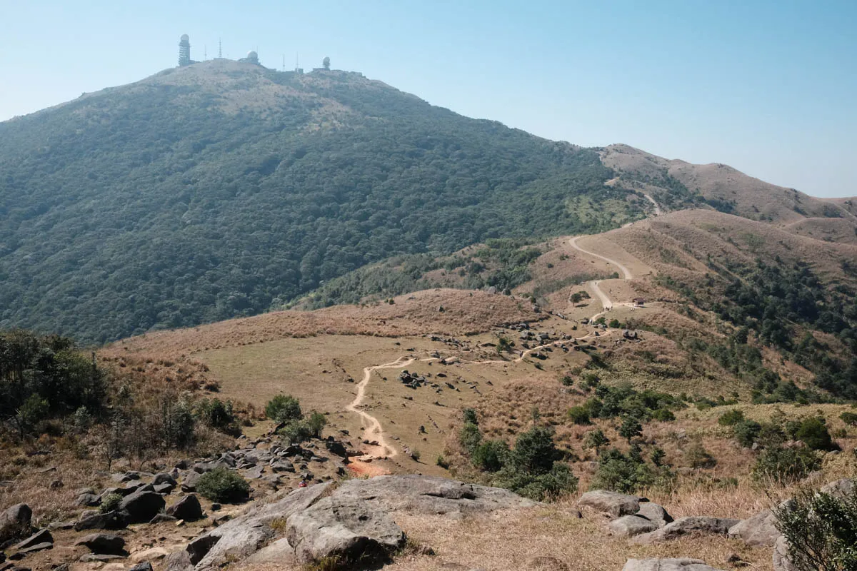
Section 1 is quite flat compared to the rest of the Hong Kong Trail. It starts at 400m above sea level and remains so until the second half of the hike, where there is a descent to 200m-300m. There’s a short, steep walk near H013. The trail can be completed within one and a half hours at a moderate pace.
Trail surface
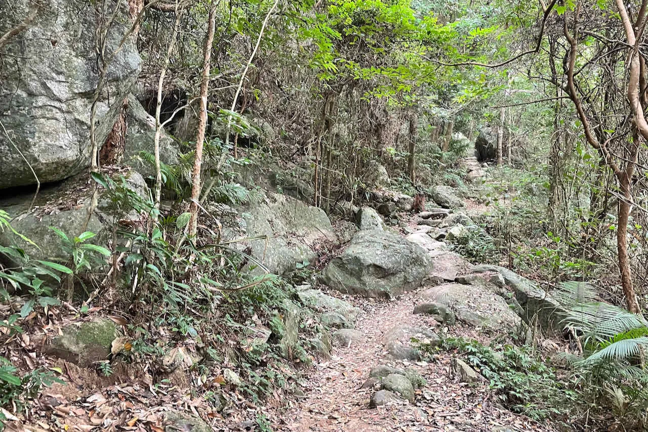
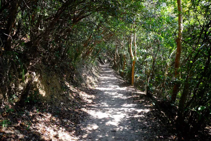
The first half of the trail’s surface on Lugard Road is mostly concrete. It’s a popular path for runners and tourists who want to enjoy the scenic view of Victoria Harbor. After leaving Lugard Road on a sharp right turn, the path around Mount High West towards Pok Fu Lam transitions into dirt with minimal rocks, which is easier on the knees.
Transport
Going to the starting point
By tram: Take the Peak Tram from Garden Road Peak Tram Lower Terminus to Peak Tram Upper Terminus. Recommended for visitors.
By bus: Take bus 15 from Central Exchange Square bus stop (Central MTR exit A) towards The Peak and get off at The Peak bus stop.
Leaving the finishing point
By bus: Walk West on Pok Fu Lam Family Walk for half an hour, and take buses 4, 7, 37A, 37B, 91, or 94 from Pok Fu Lam Rd bus stop to Central.
By tram: Walk East on Pok Fu Lam Reservoir Rd for half an hour and take the tram back to central from the Peak.