Dragon's Back Hike

Map
Description
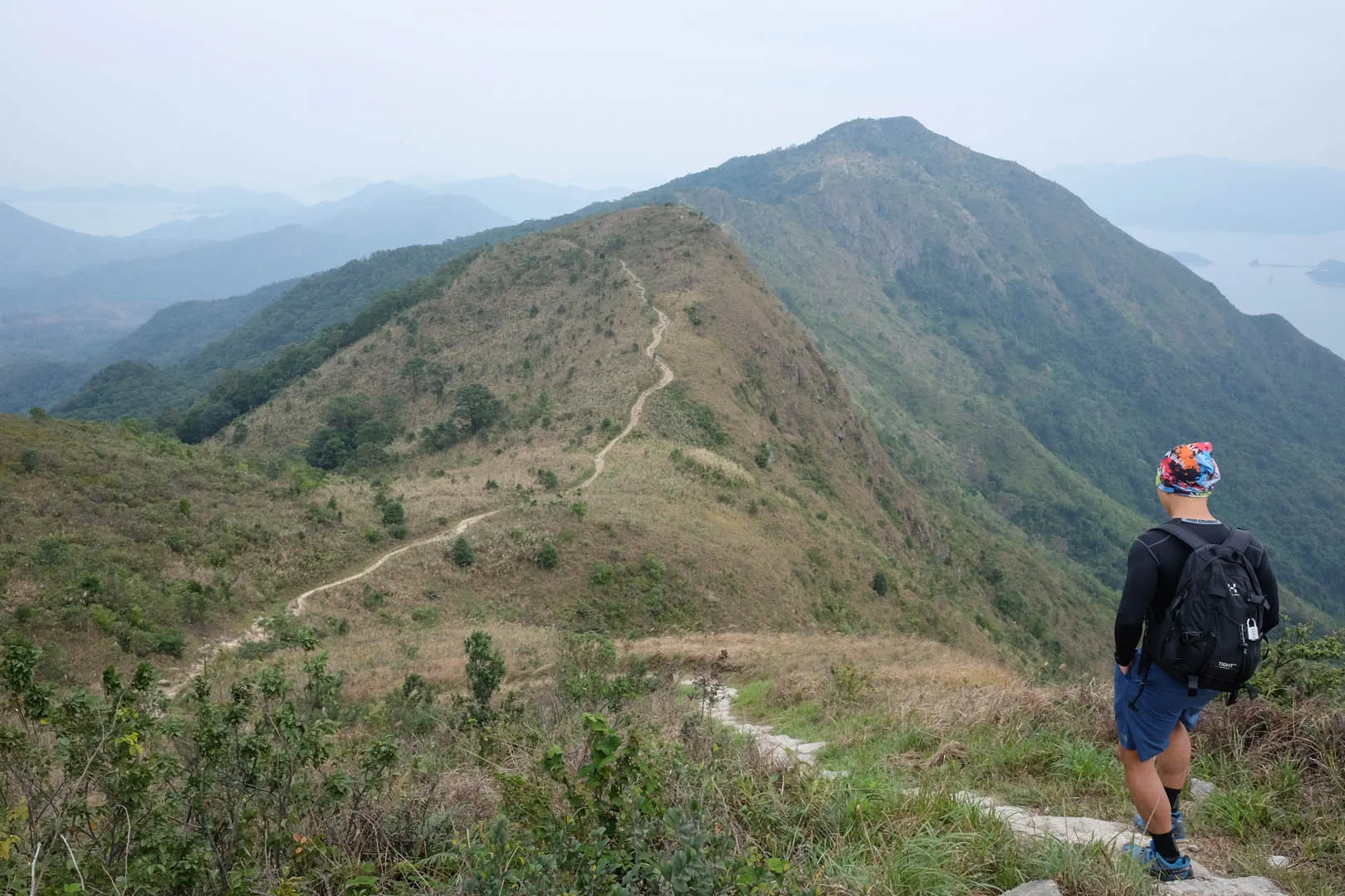
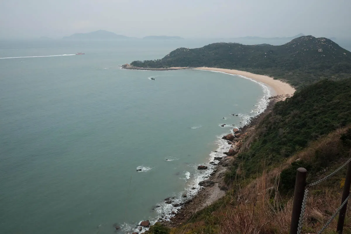
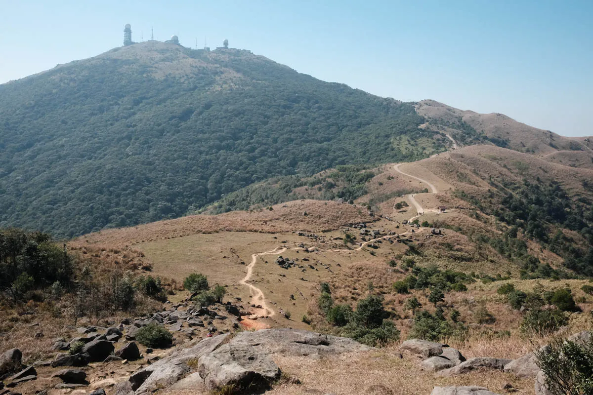
Rated as the best urban hike in Asia by TIME magazine, best hike in Hong Kong by Lonely Planet and CNN Travel, Dragon’s Back trail features a magnificent scenic view for a relatively easy walk. Throughout the trail, you’ll experience a few vantage points that cover Shek O Village and Beach, as well as Ng Fan Chau and Tung Lung Chau islands. If you enjoy solitude, it’s best to avoid Dragon’s Back during weekends, as it gets quite crowded and causes several choke points.
Hike elevation
The hike starts at 140m and makes a steady climb to 200m. At the T junction, turn left to continue the trial, or turn right to enjoy a scenic view of Shek O and the islands beyond.
The trail continues along the ridge to Shek O Peak, the highest point of the hike at 284m.
After Shek O Peak, the trail maintains at roughly the same elevation before descenting to 200m down the west side of the ridge.
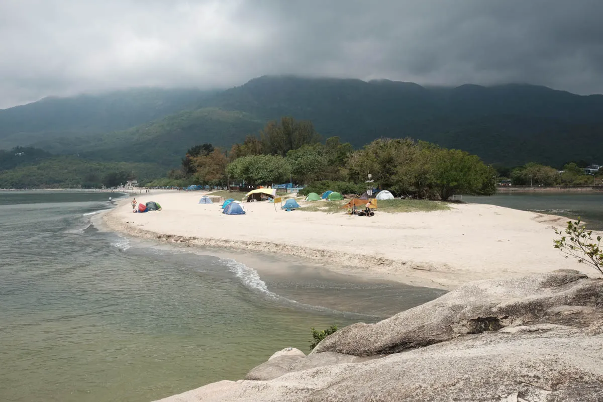
The hiking trail gradually descents to sea level until reaching the finishing point—Big Wave Bay Beach.

Trail surface
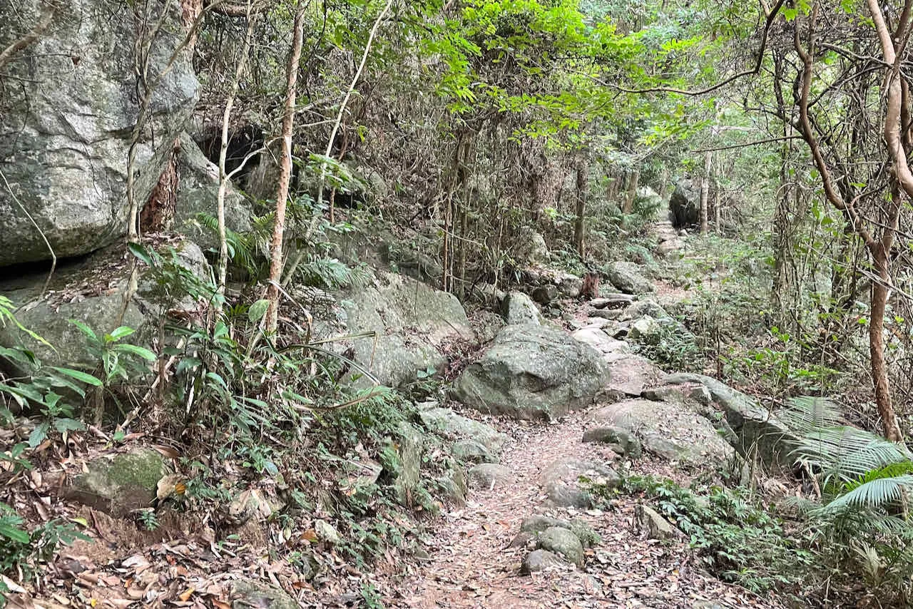
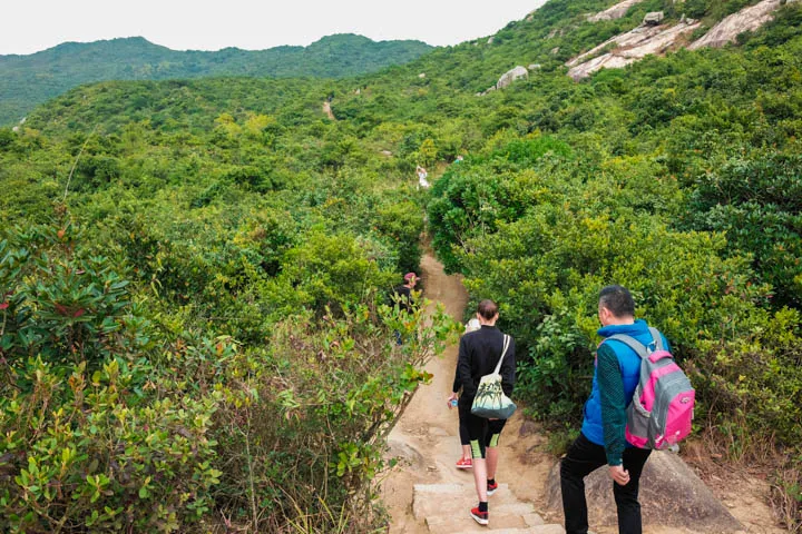
The beginning ascent of Dragon’s Back trail has a lot of rock steps. The path along the ridges are mostly dirt.
Transport
Going to the starting point
Take red minibus towards Shek O from the minibus stop next to Shau Kei Wan MTR exit A2, or bus 9 from the bus terminus (exit A3). Get off at To Tei Wan, Shek O Road.
Leaving the finishing point
Take bus 9 or red minibus from Big Wave Bay Road bus stop back to Shau Kei Wan.
 Hike Hong Kong